What is recorded here
In undulating pasture, on top of hillock; excellent views S-NNE and moderate views NNE-S. Oval area (4m N-S; 2.5m E-W) defined by broad scarped edge (Wth 8m; H 1.9m) at E and steeper scarp (Wth 4.8m; H 1.55m) at W. Surface area of mound uneven possibly due to erosion by cattle. Current edition OS 6-inch map depicts a triangulation pillar in centre, but this has been relocated to SSW of monument. Hillock named 'Knockseefin' on current edition OS 6-inch map. According to local information hillock known as 'Cnoc Shee Bhín'.
Compiled by: Denis Power
Date of upload: 6 December 2013
Neolithic passage tomb, c. 3500–2500 BCE. Its construction and positioning suggest it was part of a broader ceremonial landscape, typical of early farming communities in Ireland.
The monument record does not grant public access. Check the route and ask the landowner before entering private land.
- What survives
- Recorded monument
Places near here
 KnockseefinMountain / peak · 5 yd
 Partially indicatedEnclosure · 153 yd
 Enclosure in Glen (clanwilliam By.)Enclosure · 408 yd
 (Site of) Nicker CastleCastle, unclassified · 435 yd
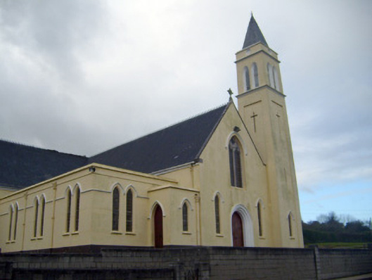 Catholic Church of Saint John the Baptistchurch/chapel · 556 yd
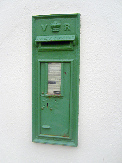 post boxpost box · 592 yd
 Pallas MoatCastle, motte · 1.3 mi
 ToberagaddySpring · 1.5 mi
 St. Patrick's WellSpring · 2.8 mi
 Kilteely HillMountain / peak · 3.3 mi
 Graveyard in AbingtonGraveyard · 5.5 mi
 Flat cemetery in Knockainy WestFlat cemetery · 7.2 mi