
What is recorded here
In pasture, on a steep NW-facing slope. The monument, which is depicted on the 1923 OS 6-inch map as a circular mound (diam. c. 10m), has been levelled. There is now no evident trace of the mound.
Compiled by: Denis Power
Date of upload: 26 August 2011
A local ancient tomb; wider significance not recorded.
The monument record does not grant public access. Check the route and ask the landowner before entering private land.
- What survives
- Recorded monument
Places near here
 Kilcolman Church (in ruins)Church · 432 yd
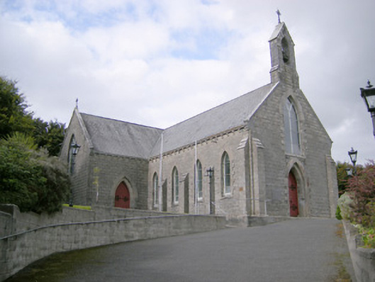 Saint Colman's Catholic Churchchurch/chapel · 511 yd
 Lisnagreeve - Hachured (1923Fairy fort / earthen ringfort · 1231 yd
 Mound in Corbally (shanid By.)Mound · 1567 yd
 Castle (in ruins)Castle, tower house · 1.1 mi
 CahermoyleCastle, unclassified · 2.0 mi
 St. Luke's WellSpring · 2.1 mi
 St. Kieran's WellSpring · 3.5 mi
 Limerick GreenwayWalking route · 5.6 mi
 Monterey CypressMonterey Cypress · 6.0 mi
 Gammarel PointHeadland · 6.2 mi
 Askeaton CastleHeritage attraction · 6.7 mi
Other information
Photo: Credit not shown in the picture search · Rights wording not checked; contact us if this picture should be removed