What is recorded here
On flat poorly drained grassland with good views in all directions. Hollow depression (diam. 30m N-S; D 0.4m) with low rise (diam. 13m N-S) in centre of hollow may represent the remains of a levelled mound. No monument is indicated in this area on the first (1840) ed. OS six inch map and indicated as a small mound with attached enclosure to E on the 1903 ed. OS 6-inch map.
Compiled by: Jean Farrelly
Date of upload: 26 August 2011
The monument record does not grant public access. Check the route and ask the landowner before entering private land.
- What survives
- Recorded monument
Places near here
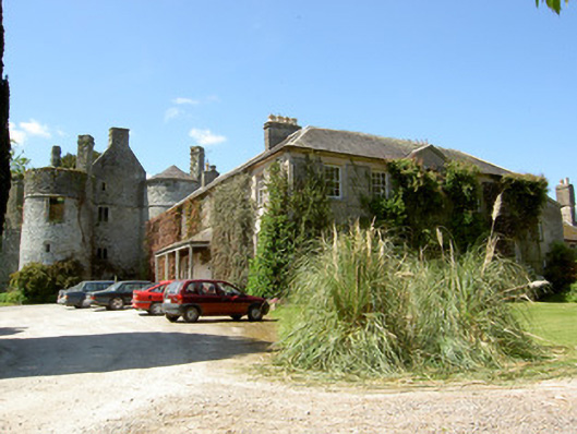 Killenure Castlecountry house · 465 yd
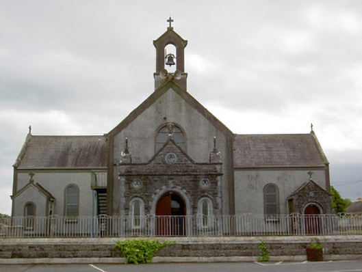 Catholic Church of the Assumptionchurch/chapel · 873 yd
 Enclosure in LisloranEnclosure · 1217 yd
 Wych ElmWych Elm · 1392 yd
 European ashEuropean ash · 1460 yd
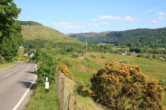 IndicatedEnclosure · 1492 yd
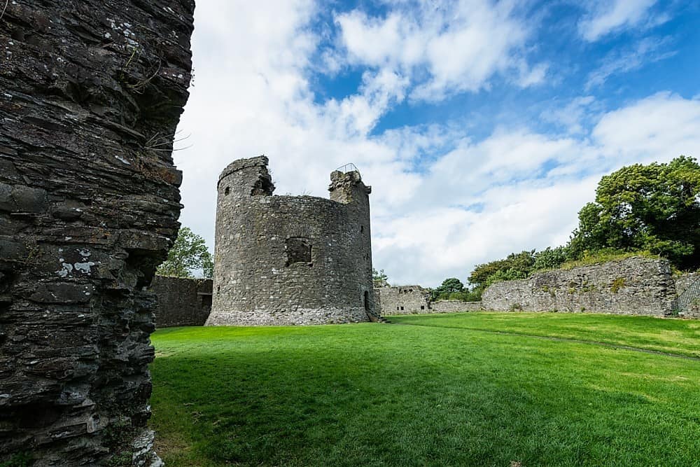 Site of CastleCastle, unclassified · 1.2 mi
 Castle (in ruins)Castle, tower house · 1.8 mi
 Hore AbbeyHeritage attraction · 4.8 mi
 Athassel PrioryHeritage attraction · 4.9 mi
 I.R.A. 3rd. Tipperary Brigade MemorialMemorial · 7.8 mi
 The Maid of ErinMemorial · 8.6 mi