
What is recorded here
In grassland atop low rise of ground with good views in all directions. No surface remains visible. Depicted as a semi-circular enclosure (approx. diam 45m NW-SE) on first ed. OS 6-inch map which is intersected by a field boundary from NW through N to E, only the S and W quadrants of the enclosure were depicted. On the latest ed. OS 6-inch map only the W quadrant of an enclosing element is depicted. The field boundary depicted on the OS 6-inch map has been removed and surviving portion of enclosure was probably levelled when the field boundary was removed.
Compiled by: Jean Farrelly
Date of upload: 26 August 2011
A local fairy fort (ringfort/rath); wider significance not recorded.
This remains an important historical record, but the official description says the monument is no longer visible or has been destroyed. The monument record does not grant public access. Check the route and ask the landowner before entering private land.
- What survives
- No visible remains or recorded as destroyed
Places near here
 IndicatedEnclosure · 948 yd
 Enclosure in KilshenaneEnclosure · 1008 yd
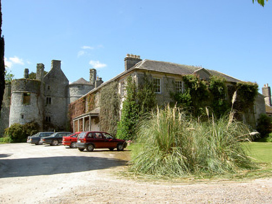 Killenure Castlecountry house · 1137 yd
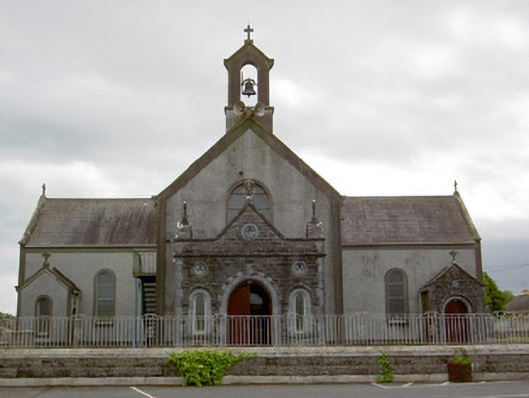 Catholic Church of the Assumptionchurch/chapel · 1.2 mi
 European ashEuropean ash · 1.2 mi
 Wych ElmWych Elm · 1.4 mi
 CastleCastle, unclassified · 1.5 mi
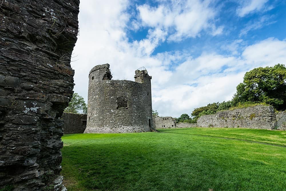 Site of CastleCastle, unclassified · 1.9 mi
 Hore AbbeyHeritage attraction · 4.3 mi
 Cashel Folk MusuemMuseum · 4.7 mi
 I.R.A. 3rd. Tipperary Brigade MemorialMemorial · 8.4 mi
 ShaunafaurkEnclosure · 1402 yd
Other information
Photo: Credit not shown in the picture search · Rights wording not checked; contact us if this picture should be removed