What is recorded here
In improved pasture, on top of a low rise; Good views in all directions, across gently undulating countryside. Oblong mound (dims. 30m NW-SE; 12m NE-SW) defined by steep-sided scarp (Wth 2.35m; H 3.25m) SSW-E, which is eroded by livestock on exterior. Indentation in scarp at NE where a large area (dims. 18m NE-SW; 26m NW-SE) has been excavated NNW-NE, along with NE-sector of interior. Scarp (Wth 4.8m; H 2.35m) is notably lower E-SSW. Intervening fosse (basal Wth 2.2m; overall Wth 7.9m; D 0.1m) SW-NNW appears to have been quarried S-SW where it is exceptionally deep. Fosse area truncated by field boundary (long-axis E-W) across S-sector. Outer bank (int. H 0.8m; ext. H 0.8m; Wth at top 1.2m; total Wth 5.1m) SW-NW is depicted as a field boundary on latest ed. OS 6-inch map. Irregular mound of earth and stone material abutting scarp at SSE. Large, wide, depressed area around exterior of monument NNE-NE inclines to a low, yet distinctive mound. Interior is a generally level with an uneven surface due to poaching by cattle.
Compiled by: Jean Farrelly
Date of upload: 26 August 2011
Neolithic long barrow; dates to the early to middle Neolithic period (c. 4000–3000 BCE). Its orientation and prominent position suggest it was a significant ceremonial or funerary monument in its landscape.
The monument record does not grant public access. Check the route and ask the landowner before entering private land.
- What survives
- Recorded monument
Places near here
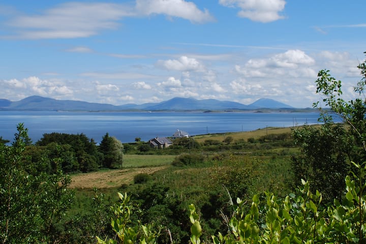 Enclosure in KilsallaghEnclosure · 523 yd
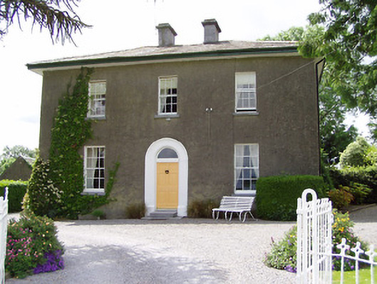 Sandygrove Househouse · 1032 yd
 Enclosure in Railstown (railstown Par.)Enclosure · 1096 yd
 Kilconnell Church (in ruins)Church · 1373 yd
 CastleCastle, ringwork and bailey · 1630 yd
 Bawn in Ballyduagh (railstown Par.)Bawn · 1.1 mi
 Ballyknock HillMountain / peak · 3.1 mi
 Cashel Folk MusuemMuseum · 3.3 mi
 Black mulberryBlack mulberry · 3.4 mi
 The Rock Of CashelVisitor information · 3.4 mi
 Cormac's ChapelHeritage attraction · 3.4 mi
 European YewEuropean Yew · 5.6 mi