
What is recorded here
From the National Monuments Service (Archaeological Survey of Ireland) record KD038-025002
Places near here
Photo credits
- Maker not stated on source page, www.boboandchichi.com
- Maker not stated on source page, commons.wikimedia.org
- Sarah777, Geograph · CC BY-SA 2.0
- Golfing in Ireland; photographer not stated, Source publisher
- National Inventory of Architectural Heritage
- Willow, Wikimedia Commons · CC BY 2.5
- Digital Eye, Wikimedia Commons · CC BY-SA 4.0
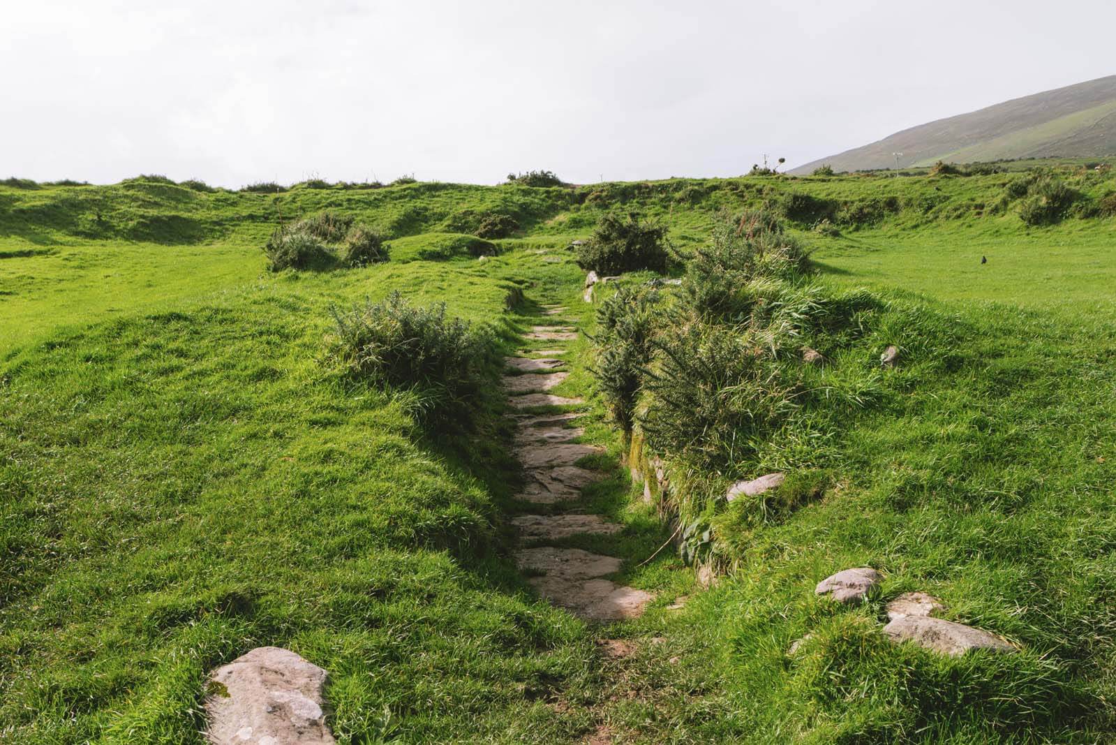 Fairy fort / earthen ringfort in HughstownFairy fort / earthen ringfort · 699 yd
Explorer Tom Fairy fort / earthen ringfort in Hughstown has an imaginary twin across the sea that keeps calling it lazy. It…
 Standing stone in Tinoranhill NorthStanding stone · 1.3 mi
Explorer Tom This one sits right inside a hillfort, acting like it’s the bouncer of an ancient club. The dog in charge probably…
 Tinoran HillMountain / peak · 1.3 mi
Explorer Tom Tinoran Hill’s dating profile says it’s loyal, steady, and will never move its feet once settled down. It’s been…
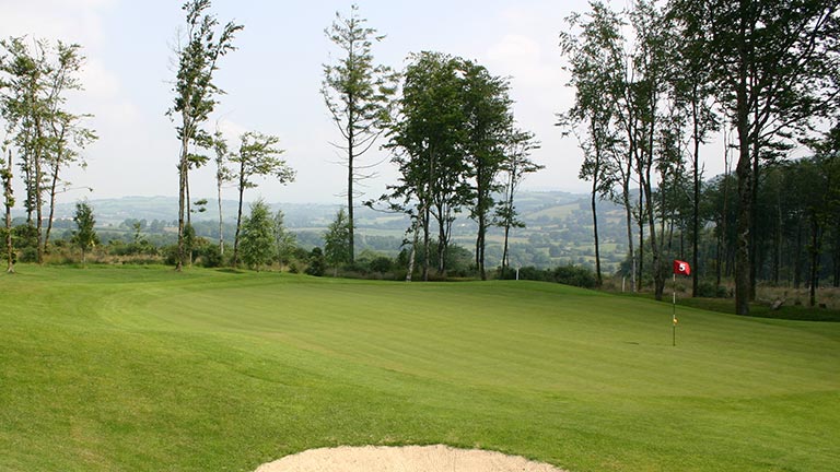 Baltinglass Golf ClubGolf course · 1.4 mi
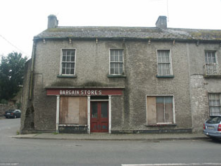 Bargain StoresHouse · 1.6 mi
Explorer Tom Bargain Stores in Baltinglass is sitting there vacant, waiting for its next big sale which never comes. It used to be a…
 European ash1.6 mi
Explorer Tom European ash in County Kildare was saved by a hero nobody remembers, probably because he forgot his name. The tree…
 Mill HouseHouse · 1.6 mi
Explorer Tom Mill House in Baltinglass West had a first owner who planned to escape via the roof if things got too tedious. It’s…
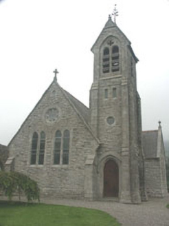 Saint Mary's Church (Baltinglass)Church/chapel · 1.7 mi
Explorer Tom Saint Mary’s Church in Baltinglass has a local superstition that you mustn’t whistle near the rectory. They say it…
 Mapped graveyardGraveyard · 1.7 mi
Explorer Tom Legend says this Wicklow graveyard has been hiding a scandal involving a vicar who actually preferred horses to people.…
 AbbeyReligious house, Cistercian monks · 1.7 mi
Explorer Tom Abbey in Baltinglass East is all that's left of a Cistercian setup, basically a monk's office with really impressive…
 Baltinglass BridgeBridge · 1.7 mi
Explorer Tom Baltinglass Bridge is hiding a treasure chest under the arches, but it’s just a rusty biscuit tin from 1924. It’s an…
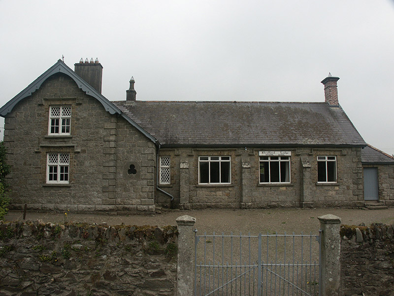 Stratford Lodge National SchoolSchool · 1.7 mi
Explorer Tom Stratford Lodge National School hates the seagulls who park on its roof and leave evidence everywhere. It’s lost some…
More archaeology and monuments in County Kildare · All of County Kildare

What do you know about this place?Tap to add a comment or ask a question