What is recorded here
Situated on a slight S-facing slope in gently undulating pasture. Circular flat-topped mound (diam. top 7m; diam. base 17m; H 0.65-0.85m) of earth and rubble limestone with gently sloping sides. There is no fosse visible at ground level. The edge of the mound has been obscured W-E by modern dumps of field clearance rubble rock. The summit of the mound undulates irregularly and slopes gently facing S slopes slightly facing S.
Compiled by: Patrick F. O'Donovan
Date of upload: 21 April 2011
A Neolithic burial mound, likely dating to the 4th–3rd millennium BCE. Its construction reflects early communal burial practices, though its specific cultural or ritual significance remains unrecorded.
The monument record does not grant public access. Check the route and ask the landowner before entering private land.
- What survives
- Recorded monument
Places near here
 Enclosure in GrangeEnclosure · 76 yd
 Atlantic SheepdogsHeritage attraction · 903 yd
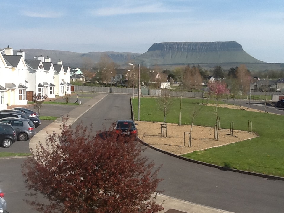 CashelmoreFairy fort / stone ringfort · 963 yd
 InishnagorIslet · 1061 yd
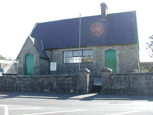 Grange Courthousecourt house · 1064 yd
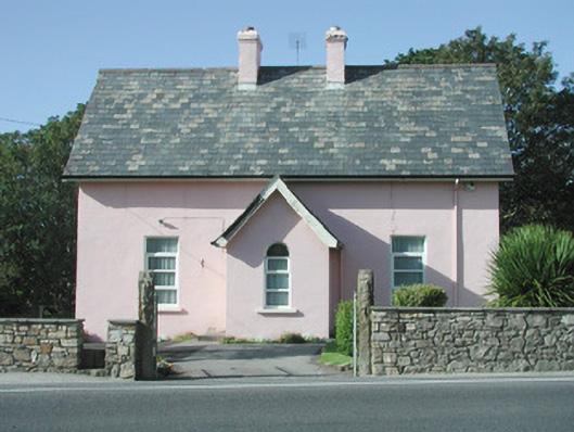 Saint Molaise'spresbytery/parochial/curate's house · 1068 yd
 CastleCastle, unclassified · 1081 yd
 Streedagh BeachVisitor information · 1.0 mi
 de Cuellar Armada MonumentMemorial · 1.0 mi
 Connors IslandIsland · 1.4 mi
 Upperglen WoodForest · 2.8 mi
 Kennel WoodWood · 3.0 mi