What is recorded here
In pasture, located on the summit of a broad hillock with panoramic views over a gently undulating landscape of grassland, with expanses of bog to W.
This mound is not depicted on the 1838 and 1916 editions of the OS 6-inch maps where the location is indicated as a trigonometrical station. It occupies a narrow space at the junction of two field fences. Roughly oval mound (8.6m E–W; 4.7m N–S; H 2.5m at E, 1.4m at W) of gravelly earth, with a narrow flat top (Wth 1m) and a steep curving slope at NE–E. Stones protrude from the top of the mound. The mound may originally have been circular but appears to have been truncated at NW and S by field fences. The fence at NW borders a disused sunken trackway.
Compiled by: Jane O'Shaughnessy
Date of upload: 28 April 2014
The monument record does not grant public access. Check the route and ask the landowner before entering private land.
- What survives
- Recorded monument
Places near here
 IndicatedCastle, motte · 401 yd
 LisgortnalassFairy fort / earthen ringfort · 1259 yd
 Knockanroe FortEnclosure · 1.1 mi
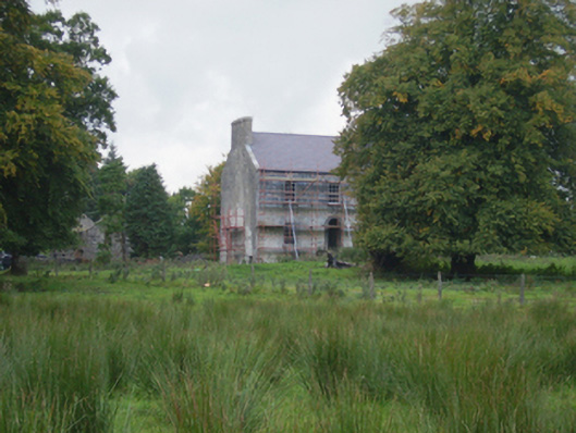 Holywell Housefarm house · 1.2 mi
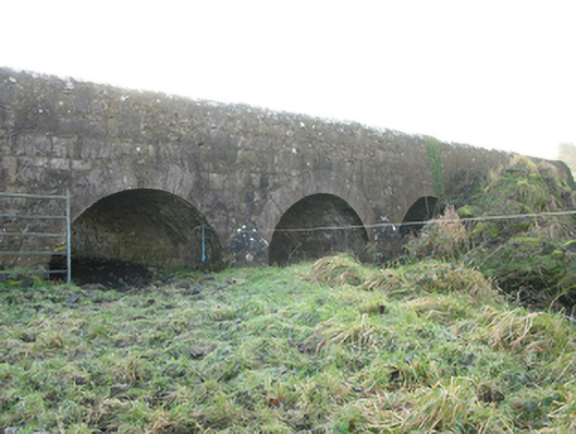 Agloragh Bridgebridge · 1.4 mi
 CastleCastle, unclassified · 1.7 mi
 Slieve DartMountain / peak · 5.8 mi
 Knock MuseumMuseum · 6.1 mi
 Knock ShrineHeritage attraction · 6.2 mi
 Oak WoodForest · 7.2 mi
 Geoffrey's WoodForest · 8.1 mi
 Mass RockNamed rock · 15 mi