
What is recorded here
In low-lying marshy terrain. The monument, which is depicted as a circular mound (diam. c. 5m) on the 1923 OS 6-inch map, has been eroded by quarrying. It is now evident as an irregular-shaped rise (L c. 7.4m; H c. 0.7m) obscured by tall grass and scrub overgrowth.
Compiled by: Denis Power
Date of upload: 26 August 2011
Neolithic passage tomb; 4000–2500 BCE. The site represents a rare surviving example of a prehistoric funerary monument in a low-lying, potentially waterlogged environment, which is significant for understanding Neolithic settlement and ritual practices in marginal landscapes.
The monument record does not grant public access. Check the route and ask the landowner before entering private land.
- What survives
- Recorded monument
Places near here
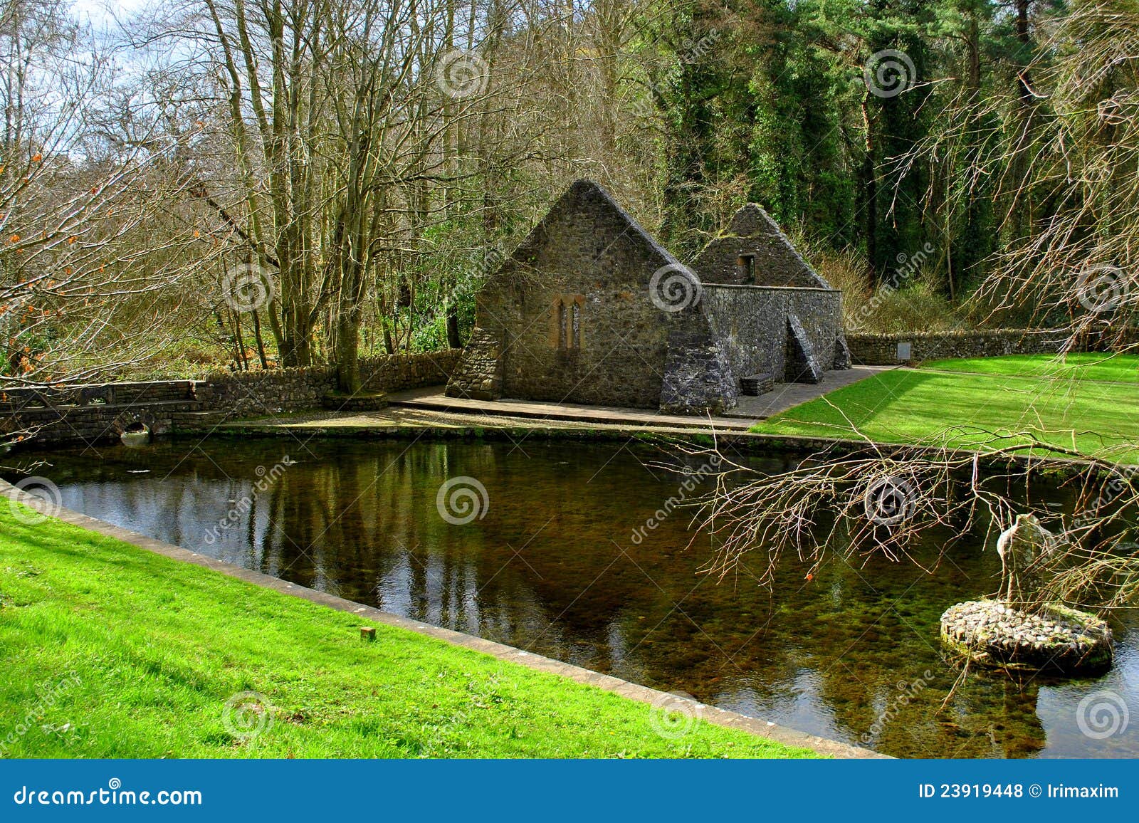 St. Patricks WellHoly well · 339 yd
 Burnt mound in BallynashBurnt mound · 346 yd
 St. Patricks Church (in ruins)Church · 798 yd
 RoadRoad, road/trackway · 1.0 mi
 Foynes Flying Boat & Maritime MuseumMuseum · 1.5 mi
 Monterey CypressMonterey Cypress · 1.5 mi
 Foynes Island ViewpointViewpoint · 1.6 mi
 Robertstown Castle (in ruins)Castle, tower house · 2.0 mi
 Gammarel PointHeadland · 2.0 mi
 Battery PointHeadland · 2.1 mi
 Foynes IslandIsland · 2.1 mi
 Castle (Site of)Castle, unclassified · 2.4 mi
Other information
Photo: Credit not shown in the picture search · Rights wording not checked; contact us if this picture should be removed