What is recorded here
On a S-facing slope, in an area covered by briars and bracken within an extensive quarry complex. An oval mound of earth-and-stone (H 0.75m; 9m N-S; 14m E-W) that is masked by a dense overgrowth of scrub vegetation.
From the National Monuments Service (Archaeological Survey of Ireland) record LI029-101
The monument record does not grant public access. Check the route and ask the landowner before entering private land.
- What survives
- Recorded monument
Places near here
Photo credits
- National Inventory of Architectural Heritage
- Mike Searle, Wikimedia Commons · CC BY-SA 2.0
- Colin Park, Geograph · CC BY-SA 2.0
- Willow, Wikimedia Commons · CC BY 2.5
- Mike Searle, Geograph · CC BY-SA 2.0
- Created by Kglavin Modified Aug 2007 by Mike Christie, Wikimedia Commons · CC BY-SA 3.0
- A.-K. D., Wikimedia Commons · CC BY-SA 4.0
- Roger McLachlan, Wikimedia Commons · CC BY-SA 2.0
- N Chadwick, Geograph · CC BY-SA 2.0
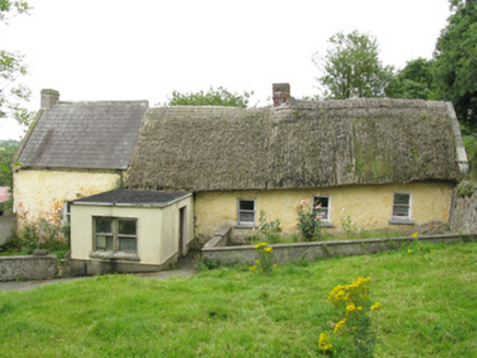 house, farm house226 yd
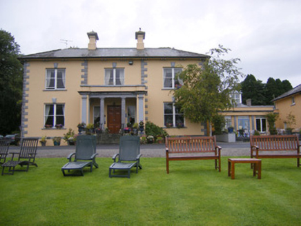 Echo LodgeHouse · 878 yd
 Glebe HouseRectory/glebe/vicarage/curate's house · 939 ydHoly well in CloontempleHoly well · 1195 yd
 Lissamota CastleCastle · 1.8 mi
 KnockfeerinaMountain / peak · 3.0 mi
 European ash3.4 mi
 Castle MatrixCastle, tower house · 4.5 mi
 Ardagh FortArchaeological place · 8.1 mi
 Saint Ite's WellSpring · 10 mi
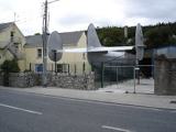 Foynes Flying Boat & Maritime MuseumMuseum · 14 mi
 Foynes Island ViewpointViewpoint · 14 mi
More archaeology and monuments in County Limerick · All of County Limerick
What do you know about this place?