What is recorded here
Two concentric circles, indicating a possible mound, marked on the 1838 OS 6-inch map (map dims.: max. diam. c. 36m). Not indicated on the later editions of the OS maps and when inspected by the ASI in 1990 no visible trace was noted.
Compiled by: Claire Breen
Date of upload: 19 September 2013
Neolithic circular mound; likely a ritual or funerary monument. Its early mapping and subsequent lack of visibility suggest possible disturbance or erosion, highlighting the vulnerability of such sites over time.
This remains an important historical record, but the official description says the monument is no longer visible or has been destroyed. The monument record does not grant public access. Check the route and ask the landowner before entering private land.
- What survives
- No visible remains or recorded as destroyed
Places near here
 Church (in Ruins)Church · 1679 yd
 Church in BallintempleChurch · 1.2 mi
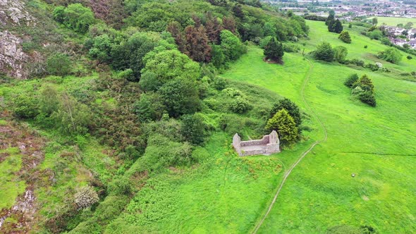 Raheen (Site of)Fairy fort / ringfort · 1.3 mi
 Brides Well (Site of)Holy well · 1.4 mi
 Woodenbridge World War One MemorialMemorial · 1.5 mi
 Scots PineScots Pine · 2.0 mi
 Sweet ChestnutSweet Chestnut · 2.0 mi
 White Heaps 1798Memorial · 2.7 mi
 Site of CastleCastle, unclassified · 2.9 mi
 Croghan KinsellaMountain / peak · 3.1 mi
 CastleCastle, motte · 4.1 mi
 Battle of Arklowbattle · 4.1 mi