
What is recorded here
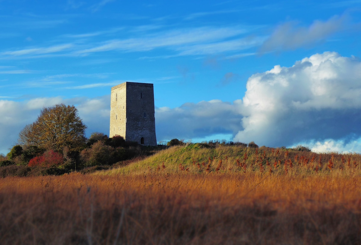
Situated on top of a low natural rise in undulating countryside. Circular earthen mound (H 2m; diam top 6.3m) enclosed by wide flat bottomed fosse (Wth 4.2m; ext. D 1m) which has been altered on all sides. There is no evidence of an external bank which may have been destroyed when the inner fosse was being altered. Known locally as the Deans Fort. Natural mound which may have been used as a burial place.
The above description is derived from the published 'Archaeological Inventory of County Offaly' (Dublin: Stationery Office, 1997). In certain instances the entries have been revised and updated in the light of recent research.
Date of upload: 23 May 2011
Circular earthen mound with enclosing fosse, likely dating to the Late Bronze Age or early Iron Age. Such mounds often served as funerary or ceremonial monuments, indicating local ritual activity or territorial markers.
The monument record does not grant public access. Check the route and ask the landowner before entering private land.
- What survives
- Recorded monument
Places near here
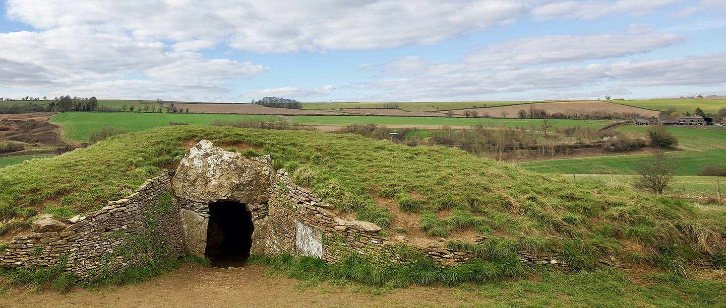 BarrowBarrow, ring-barrow · 1161 yd
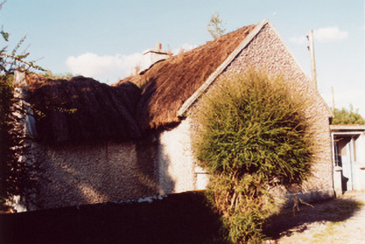 farm housefarm house · 1212 yd
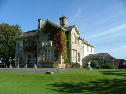 Bunrevan Househouse · 1442 yd
 OutlinedEnclosure · 1.7 mi
 All Saints' WellSpring · 1.8 mi
 Woodville WoodWood · 1.8 mi
 Site of Ballindown CastleCastle, unclassified · 2.2 mi
 European BeechEuropean Beech · 2.4 mi
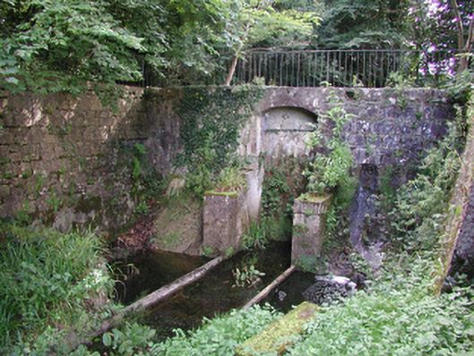 Birr Castlemachinery · 2.5 mi
 The Great Telescope 'Leviathan'Heritage attraction · 2.7 mi
 James Franklin FullerMemorial · 2.7 mi
 Black Castle (Site of)Castle, motte · 2.8 mi
Other information
Photo: Credit not shown in the picture search · Rights wording not checked; contact us if this picture should be removed