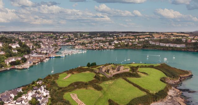
What is recorded here
In swamp, c. 20m N of river's edge. Depicted on 1937 OS 6-inch map as hachured mound (c. 20m NE-SW; c. 10m NW-SE). Grass-covered kidney-shaped, earthen mound (17.6m E-W; 13m N-S; H 1.6m) with opening (Wth 4.8m; D 6m) to SE.
The above description is derived from the published 'Archaeological Inventory of County Cork. Volume 4: North Cork' (Dublin: Stationery Office, 2000). In certain instances the entries have been revised and updated in the light of recent research.
Date of upload/revision: 14 January 2009
Neolithic passage tomb, dating to c. 3500–2500 BCE. Its location in a swamp and the presence of a significant opening suggest it was deliberately sited for ritual or funerary purposes, typical of early ceremonial landscapes in Ireland.
The monument record does not grant public access. Check the route and ask the landowner before entering private land.
- What survives
- Recorded monument
Places near here
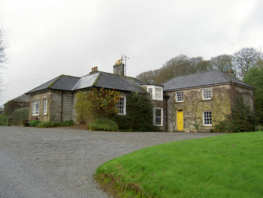 Egmont Cottagehouse · 444 yd
 Rath (Site of)Fairy fort / earthen ringfort · 696 yd
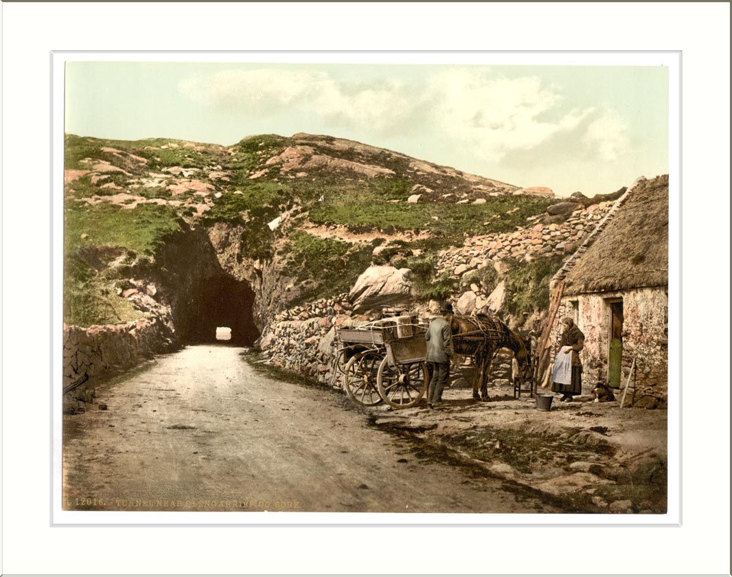 Quarry in ClashelaneQuarry · 876 yd
 Churchtown TrailsVisitor information · 1096 yd
 IndicatedFairy fort / earthen ringfort · 1188 yd
 Templeconnell Castle (in Ruins)Castle, tower house · 1.0 mi
 CarrigadoonCastle, unclassified · 1.1 mi
 Ballyhoura WayWalking route · 1.3 mi
 Windmill HillMountain / peak · 1.7 mi
 Buttevant Rail DisasterMemorial · 2.4 mi
 Lady's WellSpring · 2.5 mi
 David HurleyMemorial · 3.0 mi
Other information
Photo: Credit not shown in the picture search · Rights wording not checked; contact us if this picture should be removed