
What is recorded here
From the National Monuments Service (Archaeological Survey of Ireland) record LE024-024004
Places near here
Photo credits
- Maker not stated on source page, www.tripadvisor.com
- Maker not stated on source page, monumentalireland.ie
- Maker not stated on source page, www.tripadvisor.ie
- Maker not stated on source page, www.dreamstime.com
- Oliver Dixon / Geograph, commons.wikimedia.org
- Maker not stated on source page, en.wikipedia.org
- Maker not stated on source page, commons.wikimedia.org
- National Inventory of Architectural Heritage
- Adie Jackson, Geograph · CC BY-SA 2.0
- Pampuco, Wikimedia Commons · CC BY-SA 4.0
 Bullaun stone in Drumany (o' Brien)Bullaun stone · 300 yd
Explorer Tom Bullaun stone in Drumany has two basins that probably just wanted to be a cup holder for the holy well. It’s been…
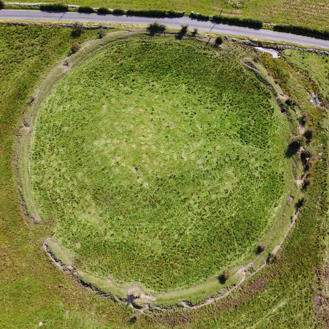 Fairy fort / ringfort in BranraFairy fort / ringfort · 860 yd
Explorer Tom Fairy fort / ringfort in Branra hosted a dramatic duel between two cows over the best grass. It was intense, loud, and…
 CastleCastle, unclassified · 1.0 mi
Explorer Tom This Castle at Cornabrone sits on a triangular lake, which makes Saint Patrick feel a bit redundant about his…
 Fairy fort / ringfort in DerrymacoffinFairy fort / ringfort · 1.1 mi
Explorer Tom Fairy fort / ringfort in Derrymacoffin is playing hide-and-seek with me. The Vikings apparently got so lost looking for…
 Fenagh St. Caillins GAAGAA ground · 1.7 mi
 Linear earthwork in Kiltybardan,mayoLinear earthwork · 1.7 mi
Explorer Tom Linear earthwork in Kiltybardan claims to be a boundary line drawn by a very lazy giant. A local guy swears he invented…
 St. Mary's New CemeteryCemetery · 1.9 mi
Explorer Tom St. Mary's New Cemetery would survive a zombie attack by simply locking the gates and pretending nobody is there until…
 Kiltubrid Old GraveyardCemetery · 1.9 mi
Explorer Tom Kiltubrid Old Graveyard in County Leitrim is where Vikings allegedly got so lost they named every tree after their own…
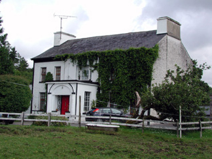 Annadale HouseCountry house · 1.9 mi
Explorer Tom Annadale House in Kiltubbrid has made a New Year's resolution to stop its walled garden from looking so smug about all…
 Aughnasheelin GAAGAA ground · 2.2 mi
 Fionn McCumhail CottageHouse · 2.5 mi
Explorer Tom Fionn McCumhail Cottage in Keshcarrigan is still wearing its straw hat from the eighties. Imagine explaining low…
 Sliabh an IarainnMountain / peak · 4.8 mi
Explorer Tom Sliabh an Iarainn calls itself the iron mountain and has the old workings to back up the name. It rises 585 metres east…
More archaeology and monuments in County Leitrim · All of County Leitrim

What do you know about this place?Tap to add a comment or ask a question