What is recorded here
de Vismes-Kane (1916, 546) refers to a possible linear earthwork in the townlands of Kiltybardan and Mayo, but it is otherwise unknown.
Compiled by: Michael Moore
Date of upload: 16 January, 2017
The monument record does not grant public access. Check the route and ask the landowner before entering private land.
- What survives
- Recorded monument
Places near here
 Turf IslandIsland · 767 yd
 Crane IslandIslet · 1073 yd
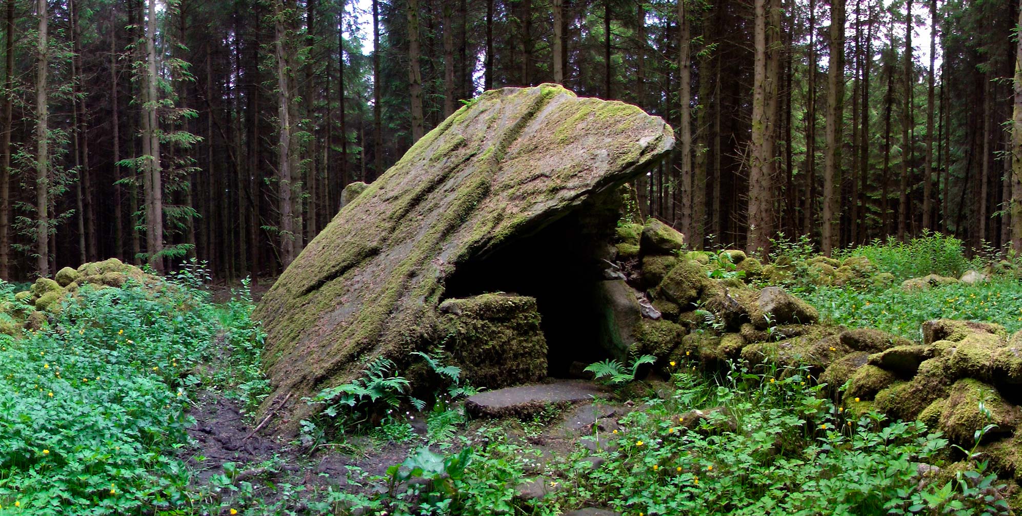 Druid's AltarArchaeological place · 1725 yd
 Fairy fort / ringfort in AghavaddenFairy fort / ringfort · 1.4 mi
 CoolkillChurch · 1.7 mi
 CastleCastle, tower house · 1.8 mi
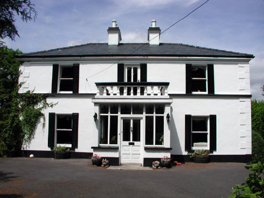 Curranmount Househouse · 2.0 mi
 DrumbadMountain / peak · 2.1 mi
 European ashEuropean ash · 2.2 mi
 Cromlin Bridge WoodWood · 2.3 mi
 CastleforeCastle, tower house · 2.5 mi
 DrumgownaghMountain / peak · 4.1 mi