What is recorded here
At the crest of the N-facing slope of a small E-W drumlin overlooking Cavetown Lough which is c. 50m to the N, and at the centre of rath (RO010-036001-). Circular, flat-topped and scrub-covered mound (diam. of base 6.5m; diam. of top 1.5m; H 1.5-1.7m) which is locally said to have been used as a viewing platform of the lake by the Mahons, local landlords.
Compiled by: Michael Moore
Date of upload: 24 August 2010
The monument record does not grant public access. Check the route and ask the landowner before entering private land.
- What survives
- Recorded monument
Places near here
 IndicatedFairy fort / earthen ringfort · 1 yd
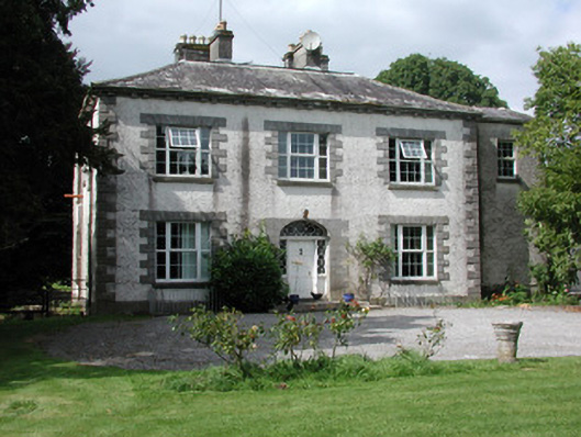 Moylurg Housecountry house · 1061 yd
 ToberlonaunHoly well · 1062 yd
 Moylung Castle (in ruins)Castle, unclassified · 1382 yd
 R. C. ChapelChurch · 1527 yd
 Castle (Site of)Castle, unclassified · 3.0 mi
 Lough Key Forest ParkWood · 3.6 mi
 Boyle AbbeyHeritage attraction · 3.8 mi
 King William MemorialMonument · 3.8 mi
 Erris BayBay · 3.9 mi
 Horse-chestnutHorse-chestnut · 4.0 mi
 Longford HillMountain / peak · 4.0 mi