
What is recorded here
On a low rise in well-drained pasture. Not indicated on the 1837 or 1883 eds. of the OS 6-inch map. Depicted on the 1914 ed. as a small circular mound (max. base diam. c. 15m). It is not visible at ground level.
Compiled by: Patrick F. O'Donovan
Date of upload: 28 November 2011
The monument record does not grant public access. Check the route and ask the landowner before entering private land.
- What survives
- Recorded monument
Places near here
 Castlewilderoutbuilding · 118 yd
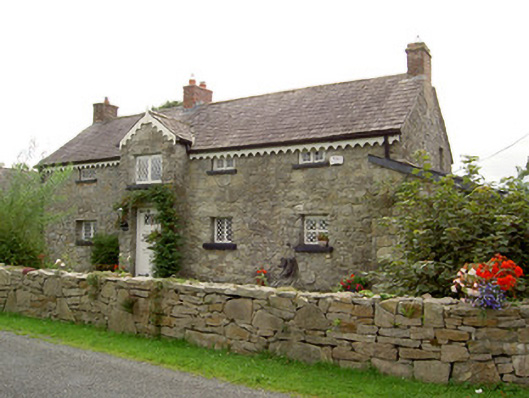 The Old ForgeRIC barracks · 475 yd
 Indicated FortFairy fort / earthen ringfort · 632 yd
 Columbkilles Well (Site of)Holy well · 690 yd
 European BeechEuropean Beech · 740 yd
 Common LimeCommon Lime · 1.4 mi
 Abbeyshrule AbbeyRuins · 1.5 mi
 Not locatedCastle, unclassified · 2.9 mi
 CastleCastle, motte · 3.0 mi
 Goldsmith Birthplace, PallasVisitor information · 3.4 mi
 Craft WorkshopHeritage attraction · 3.9 mi
 Guest ServicesVisitor information · 3.9 mi
Other information
Photo: Credit not shown in the picture search · Rights wording not checked; contact us if this picture should be removed