What is recorded here
Half-buried in marsh and river spoil, the Ratharney fort keeps its circular shape under a skin of drainage dirt. Its earthen bank and hidden ditch still trace a thirty-three-metre chamber on the wet ground beside the Inny, though no entrance remains visible. The fort may have been a household, a refuge or a boundary marker, but the river has taken most of its answer.
On low-lying, marshy ground immediately N of the Inny River. Depicted as a circular enclosure with the designation ‘Fort’ on the 1837 edition of the OS 6-inch map. A report in 1987 (SMR file) noted that this raised circular area (diam. 33m) was defined by a wide low earthen bank, set on a scarp, from N-NE-E. Only the scarp (max. H 0.25m) is visible. At its base is an infilled fosse (Wth 1.6m). A levelled outer bank (Wth 4.8m; H 0.35m) is evident from N–E–SE. The S half of the monument lies under drainage spoil from the adjacent river. The original entrance is not recognisable. Adjoining the rath at W is a smaller enclosure (LF023-106001-) that is possibly an annexe.
Compiled by: Patrick F. O'Donovan
Date of upload: 15 February 2012
A fairy fort or earthen ringfort in Ratharney, likely dating to the early medieval period, is situated on low-lying, marshy ground near the Inny River. It appears on the 1837 OS 6-inch map as a circular enclosure marked 'Fort,' and local tradition associates it with fairy folklore, as suggested by its name.
The monument record does not grant public access. Check the route and ask the landowner before entering private land.
- What survives
- Recorded monument
Places near here
 Enclosure in RatharneyEnclosure · 20 yd
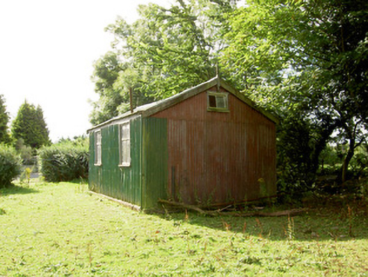 Ratharney Christian Brethren Meeting Househall · 268 yd
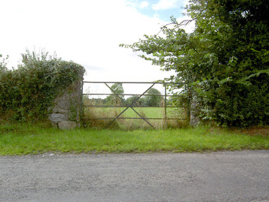 gates/railings/wallsgates/railings/walls · 516 yd
 European BeechEuropean Beech · 622 yd
 Mound in CastlewilderMound · 735 yd
 Common LimeCommon Lime · 1.0 mi
 Abbeyshrule AbbeyRuins · 1.2 mi
 Not locatedCastle, unclassified · 2.7 mi
 Goldsmith Birthplace, PallasVisitor information · 3.0 mi
 CastleCastle, motte · 3.0 mi
 Craft WorkshopHeritage attraction · 3.5 mi
 Guest ServicesVisitor information · 3.5 mi