
What is recorded here
Prominently sited on top of what's left of the forested Hill of Allen (OD 676 feet). The mound lies only 8m to the E of a sheer cliff-edge formed by the extensive Roadstone quarry which has removed a significant portion of the Hill to the S, W and N. According to the OSL (Herity 2002, 97 (32)), 'there are however no…
Read the whole record
From the National Monuments Service (Archaeological Survey of Ireland) record KD018-021001
Places near here
Photo credits
- Maker not stated on source page, en.wikipedia.org
- Maker not stated on source page, commons.wikimedia.org
- Mike Searle, Geograph · CC BY-SA 2.0
- Eoghan888 at English Wikipedia, Wikimedia Commons · Public domain
- Maker not stated on source page, allthatsinteresting.com
- National Inventory of Architectural Heritage
- Maker not stated on source page, jp.pinterest.com
- Maker not stated on source page, www.pinterest.com
- Milltown GAA official website; individual photographer not stated, www.milltowngaa.com
- Maker not stated on source page, au.pinterest.com
 Inscribed stone in Carrick (rathernan Ed)Inscribed stone · 1 yd
Explorer Tom Inscribed stone in Carrick was moved to Ballyteague Castle but then vanished like my spare keys. The matchmaker who…
 Cist in Carrick (rathernan Ed)Cist · 1 yd
Explorer Tom Cist in Carrick was dug out while building a tower, which is like finding your grandma’s secret recipe inside your new…
 Allen TowerDesigned landscape, folly · 4 yd
Explorer Tom Allen Tower stands on a cliff edge where the quarry ate half the hill, making it look like a very nervous giant about…
 Hill of AllenMountain / peak · 11 yd
Explorer Tom The Hill of Allen has given its name to a great bog, hosted stories of Fionn mac Cumhaill, and still found room for a…
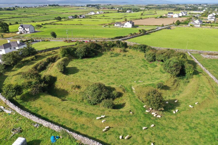 Fairy fort / ringfort in BarnacrowFairy fort / ringfort · 1086 yd
Explorer Tom Fairy fort / ringfort in Barnacrow was skipped by a bishop because he thought it looked too much like a donut with no…
 CastleCastle, unclassified · 1308 yd
Explorer Tom Castle in Dunbyrne has a secret it’d only tell after three pints: it actually loves hiding from everyone. It’s not…
 graveyard/cemetery1400 yd
Explorer Tom Graveyard or cemetery in Ballintine has a hidden tunnel to the pub, allegedly dug by a very thirsty priest. The stones…
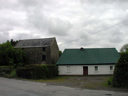 mill (water)1545 yd
Explorer Tom Mill in Pluckerstown has a bird that refuses to leave, claiming it owns the place since before you were born. The stone…
 Allen CemeteryGraveyard · 1.1 mi
Explorer Tom Allen Cemetery has a wind that keeps picking on it because it hates how neat everything looks. It ruffles the grass…
 Kilmeage CastleCastle, tower house · 1.7 mi
Explorer Tom Kilmeage Castle is currently run by a very stern-looking dog who thinks he’s the owner. Cromwell’s troops took it in…
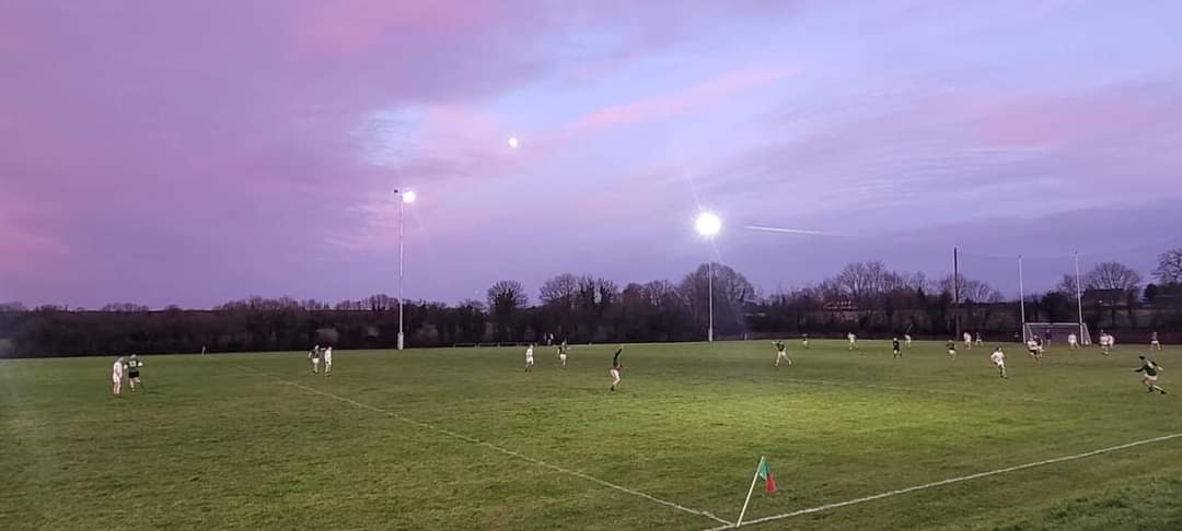 Milltown GAA pitchGAA ground · 1.7 mi
 Crosspatrick GraveyardGraveyard · 1.8 mi
Explorer Tom Crosspatrick Graveyard was nearly sold to a farmer for the price of a single horse back in the day, but the deal fell…
More archaeology and monuments in County Kildare · All of County Kildare

What do you know about this place?Tap to add a comment or ask a question