
What is recorded here
In pasture, on top of wooded hillock known as 'Knockatachaun'. Excellent views all around. Sub-oval mound (5.7m NNE-SSW; 5.3m WNW-ESE) defined by scarped edge (Wth 2.9m; H 0.75m); scarp has been quarried (Wth 4m; H 1.15m) ESE-S, leaving conspicuous depression. Mound flat-topped. Surrounded by mature beech, sycamore and ash woodland.
Compiled by: Denis Power
Date of upload: 25 November 2013
Sub-oval Bronze Age cairn or passage tomb. Its location on a prominent hillock suggests ritual or strategic significance.
The monument record does not grant public access. Check the route and ask the landowner before entering private land.
- What survives
- Recorded monument
Places near here
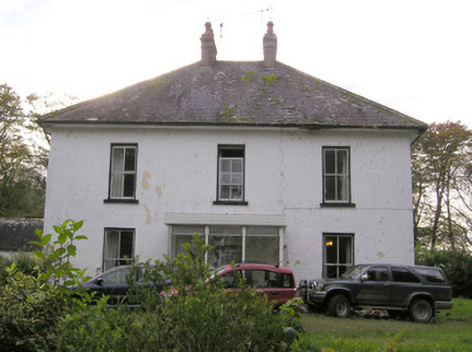 Caherelly Castlecountry house · 403 yd
 BarrowBarrow, ring-barrow · 408 yd
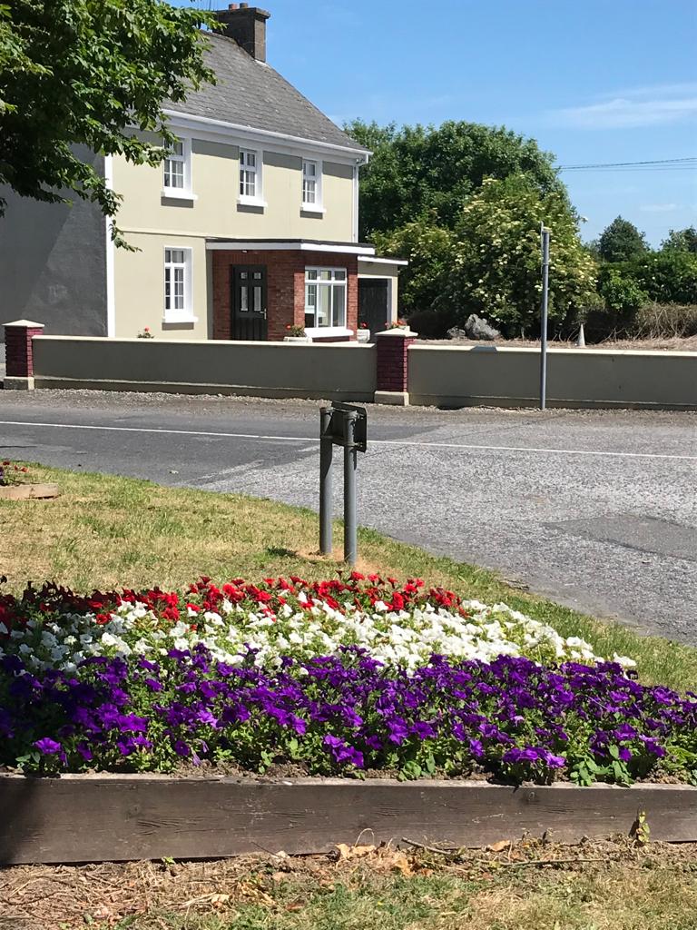 Enclosure in Caherelly WestEnclosure · 423 yd
 Caherelly Church (in ruins)Church · 614 yd
 OultinedBawn · 1003 yd
 Black Castle (Site of)Castle, unclassified · 1490 yd
 The SpectaclesVisitor information · 1.4 mi
 Lough Gur Heritage CentreVisitor information · 1.4 mi
 Pedunculate OakPedunculate Oak · 1.6 mi
 Banoge's WellSpring · 2.0 mi
 Grange Stone CircleArchaeological place · 2.4 mi
 Lough GurVisitor information · 2.5 mi
Other information
Photo: Credit not shown in the picture search · Rights wording not checked; contact us if this picture should be removed