What is recorded here
In pasture on the crest of a roughly E-W ridge running parallel to the Camoge River 300m to SW, with excellent views in all directions. The townland boundary with Knockcorragh is 130m to W. The ringfort / cashel on the summit of Knockcorragh (LI023-088----) is located 430m to ENE. The mound on the summit of Knockateehaun (LI023-107----) is located 330m to NW. The site is not depicted on historic OSi maps, but is visible as undulating ground on OSi orthoimages. Identified by Bruff aerial photographic survey in 1986 (Bruff 260; AP 4/3659) as an enclosure (ext. dims. c. 27m N-S; 33m E-W). The undulating ground is visible on Google Earth orthoimage taken 28/06/2018.
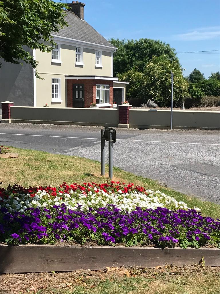
See attached Bruff survey image showing the site labelled Bruff 260, Google Street View Sept 2019 and Google Earth orthoimage
Compiled by: Edmond O’Donovan
Date of upload: 4 September 2020
A local fairy fort (ringfort/rath); wider significance not recorded.
The monument record does not grant public access. Check the route and ask the landowner before entering private land.
- What survives
- Recorded monument
Places near here
 BarrowBarrow, ring-barrow · 316 yd
 Mound in KnockcorraghMound · 390 yd
 Caherelly Cottagehouse · 635 yd
 Caherelly Church (in ruins)Church · 668 yd
 OultinedBawn · 1104 yd
 Black Castle (Site of)Castle, unclassified · 1377 yd
 The SpectaclesVisitor information · 1.4 mi
 Lough Gur Heritage CentreVisitor information · 1.4 mi
 Pedunculate OakPedunculate Oak · 1.6 mi
 Grange Stone CircleArchaeological place · 2.5 mi
 Lough GurVisitor information · 2.5 mi
 KnockainyMountain / peak · 4.3 mi
Other information
Photo: Credit not shown in the picture search · Rights wording not checked; contact us if this picture should be removed