
What is recorded here
In pasture, on top of high rocky crag; good views all around. Flat-topped circular mound (top: 11.5m N-S; 11.2m E-W; overall diam. 30m) defined by scarped edge (Wth 8.15-10.8m; H 4.6-4.85m). Rock outcrop protrudes from scarp all around, some in an irregular vertical fashion.
Compiled by: Denis Power
Date of upload: 18 November 2013
Neolithic flat-topped circular mound, likely a ceremonial or funerary earthwork. Its position on a prominent crag suggests ritual or strategic significance, possibly linked to early farming communities in the region.
The monument record does not grant public access. Check the route and ask the landowner before entering private land.
- What survives
- Recorded monument
Places near here
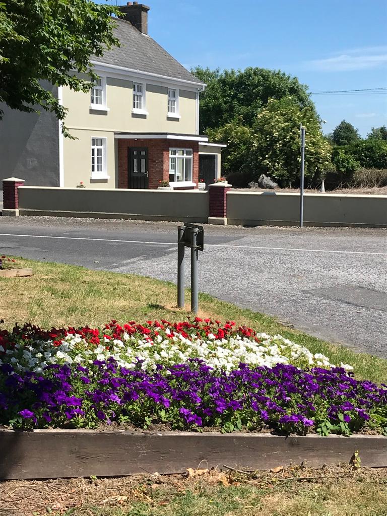 Enclosure in Caherelly WestEnclosure · 390 yd
 BarrowBarrow, ring-barrow · 462 yd
 Caherelly Cottagehouse · 579 yd
 Caherelly Church (in ruins)Church · 638 yd
 Black Castle (Site of)Castle, unclassified · 1083 yd
 OultinedBawn · 1480 yd
 The SpectaclesVisitor information · 1.6 mi
 Lough Gur Heritage CentreVisitor information · 1.6 mi
 Pedunculate OakPedunculate Oak · 1.8 mi
 Grange Stone CircleArchaeological place · 2.7 mi
 St. Patrick's WellSpring · 4.1 mi
 Kilteely HillMountain / peak · 4.1 mi
Other information
Photo: Credit not shown in the picture search · Rights wording not checked; contact us if this picture should be removed