What is recorded here
Caherelly West holds a forgotten chamber where human life may have turned before the land was taken for pasture. The grass covers the floor, the slope watches the south, and the fort waits beneath the surface like a dream refused by daylight. What was built there has not disappeared; it has stopped answering the usual way of seeing.
In level reclaimed pasture, at base of S-facing slope. Oval area (23.5m N-S; 28m E-W) defined by scarped edge (Wth 5.65m; H 1.10m). Possible entrance (Wth 5.5m) at S. Interior level and monument incorporated into rest of field as improved pasture.
Compiled by: Denis Power
Date of upload: 18 November 2013
The monument record does not grant public access. Check the route and ask the landowner before entering private land.
- What survives
- Recorded monument
Places near here
 BarrowBarrow, ring-barrow · 87 yd
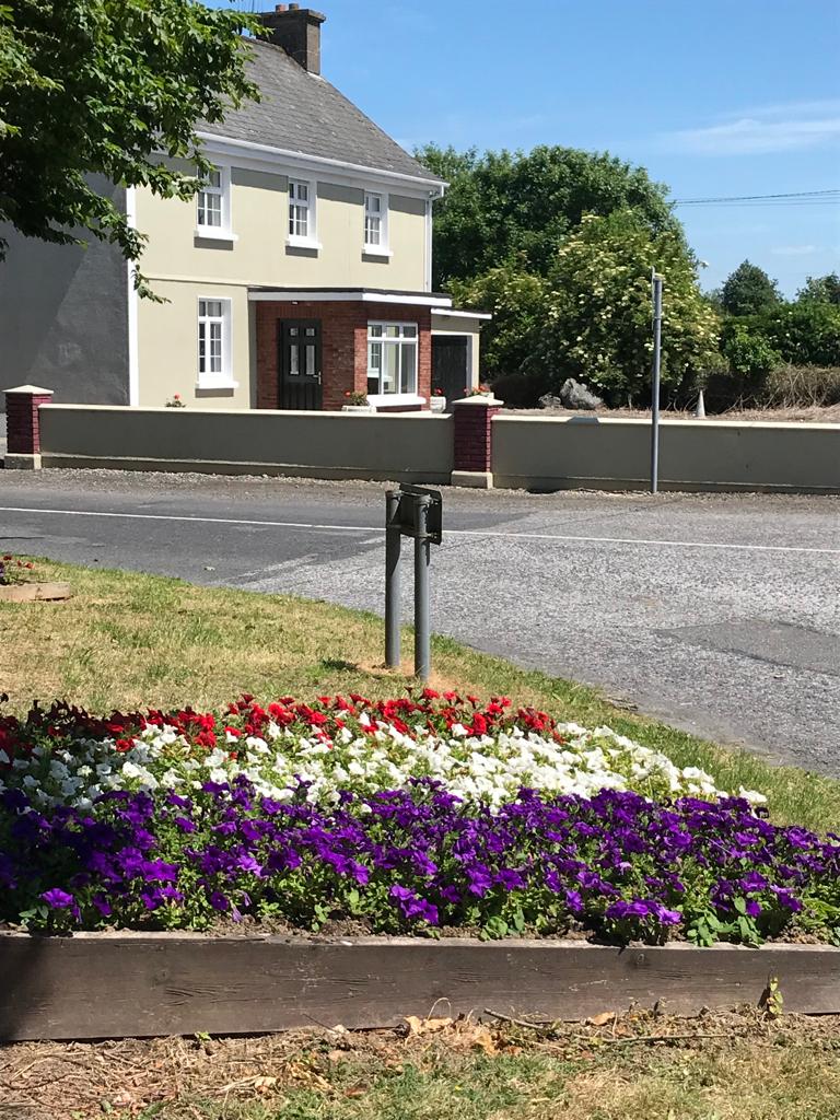 Enclosure in Caherelly WestEnclosure · 384 yd
 Caherelly Cottagehouse · 994 yd
 Caherelly Church (in ruins)Church · 1035 yd
 OultinedBawn · 1052 yd
 Black Castle (Site of)Castle, unclassified · 1630 yd
 The SpectaclesVisitor information · 1.3 mi
 Lough Gur Heritage CentreVisitor information · 1.3 mi
 Pedunculate OakPedunculate Oak · 1.5 mi
 Grange Stone CircleArchaeological place · 2.4 mi
 Lough GurVisitor information · 2.4 mi
 KnockainyMountain / peak · 4.1 mi