What is recorded here
Situated on the summit of a low hill with extensive views to W, N and E and towards Lugnagun mountain to the SSE. Oval mound (dims. 44m E-W; 39m N-S; H c. 4m) surrounded by a wide berm (Wth 10-12m) which appears to have been created when the material for the mound was scarped from its immediate environs. The summit (diam. 15m) is surrounded by a low earthen bank (Wth 2.5-3m; H 0.5-0.8m) which may not be an original feature. Part of the site on the NE side has been quarried away. (Price and Walshe 1933, 48)
The above description is derived from the published 'Archaeological Inventory of County Wicklow' (Dublin: Stationery Office, 1997). In certain instances the entries have been revised and updated in the light of recent research.
Date of upload/revision: 17 December 2008
This monument is subject to a preservation order made under the National Monuments Acts 1930 to 2014 (PO no. 108/1940).
Neolithic passage tomb, dating to approximately 3500–2500 BCE. Its location on a prominent hilltop suggests ceremonial or ritual significance, typical of Neolithic funerary monuments in the region.
The monument record does not grant public access. Check the route and ask the landowner before entering private land.
- What survives
- Recorded monument
Places near here
 IndicatedFairy fort / ringfort · 1129 yd
 Blessington Bridgebridge · 1230 yd
 Scurlocks Grave Yd. (Disused)Ecclesiastical enclosure · 1422 yd
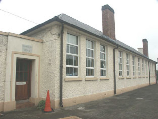 Blessington National Schoolschool · 1.1 mi
 Dame Ninette de ValoisMemorial · 1.2 mi
 The Square RenewalMemorial · 1.2 mi
 CastleCastle, tower house · 1.3 mi
 Site of CastleCastle, unclassified · 1.4 mi
 Blessington DemesneWood · 1.7 mi
 Lacken – Mass Path LoopWalking route · 1.7 mi
 Deer Park PlantationForest · 2.1 mi
 Sorrel HillMountain / peak · 2.8 mi