What is recorded here
The following description is derived from both the published 'Archaeological Inventory of County Louth' (Dublin: Stationery Office, 1986) and the 'Archaeological Survey of County Louth' (Dublin: Stationery Office, 1991). In certain instances the entries have been revised and updated in the light of recent research.
Date of upload/revision: 17 July 2007
Located on top of a long, broad, fertile ridge running E-W. The site is now levelled, but a survey by O. Davies (OPW file 1942) records a wedge-shaped mound (L 22.8m; Wth 6.4m at W, 4.9m at E; H 1.5m at W, 1m at E) composed of clay and stones. Davies suggested that the site might be a settlement, but the OS (OS Memoranda 5675 A, B) record that it was locally known as a 'Giant's Grave', which would suggest it may have been a megalithic tomb.
The monument record does not grant public access. Check the route and ask the landowner before entering private land.
- What survives
- Recorded monument
Places near here
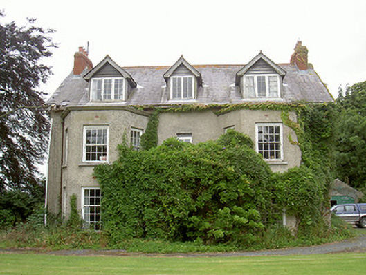 Harristown Housecountry house · 1160 yd
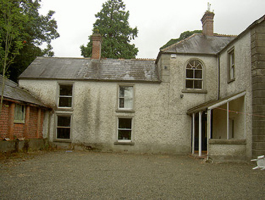 Toberdoney Househouse · 1180 yd
 IndicatedHoly well · 1292 yd
 Not idicatatedCastle, unclassified · 1356 yd
 Trinity WellHoly well · 1359 yd
 Rocjardstown CastleCastle, tower house · 1.2 mi
 Monterey CypressMonterey Cypress · 1.2 mi
 Graveyard in Richardstown (ardee By., Richardstown Par.)Graveyard · 1.2 mi
 Graveyard in StickillinGraveyard · 1.3 mi
 Rathescar Lakeside WalkWood · 2.1 mi
 Mount OrielMountain / peak · 3.9 mi
 Black HillMountain / peak · 4.2 mi