What is recorded here
In pasture, on gentle NE-facing slope. A roughly circular dome-shaped mound (dims. c. 11m NE-SW; c. 16m NW-SE; H c. 0.75m). No evidence of any banks of fosses. Enclosure (TS067-079----) is located c. 600m to NE.
Compiled by: Jean Farrelly
Date of upload: 26 August 2011
The monument record does not grant public access. Check the route and ask the landowner before entering private land.
- What survives
- Recorded monument
Places near here
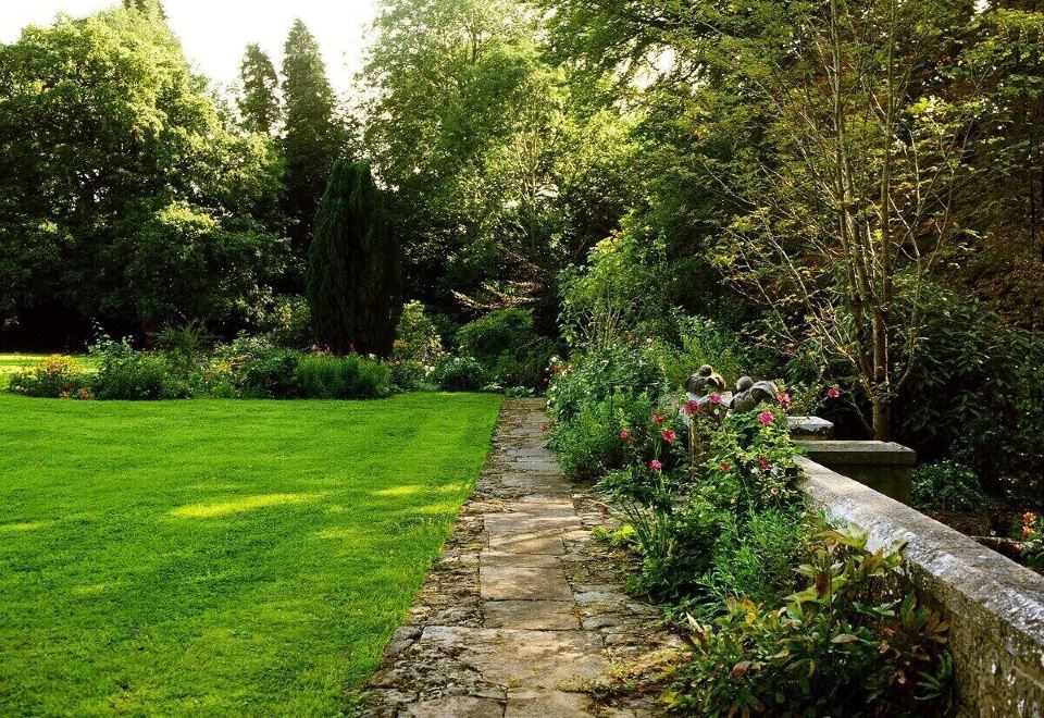 Enclosure in LismacueEnclosure · 1383 yd
 Enclosure in Ballinlough West,rathdermotEnclosure · 1615 yd
 Lismacue Housecountry house · 1.0 mi
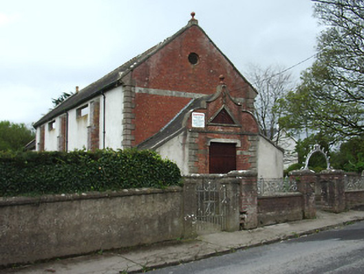 Bansha Public Hallhall · 1.1 mi
 Bansha CastleCastle · 1.4 mi
 Castle (in ruins)Castle, unclassified · 1.4 mi
 Pedunculate OakPedunculate Oak · 1.9 mi
 TuliptreeTuliptree · 1.9 mi
 SturrakeenMountain / peak · 3.0 mi
 Laghtshanaquilla North-East TopMountain / peak · 3.4 mi
 The RockViewpoint · 4.4 mi
 Christ the KingViewpoint · 4.8 mi