
Places near here
Photo credits
- Sarah777 at English Wikipedia, Wikimedia Commons · Public domain
- Jonathan Billinger, Wikimedia Commons · CC BY-SA 2.0
- National Inventory of Architectural Heritage
- surrealpenguin, Wikimedia Commons · CC BY-SA 2.0
- Ian Brooker and David Kleinig, Wikimedia Commons · CC BY 3.0 au
Double-bank enclosureFairy fort / earthen ringfort · 763 ydEmbanked enclosureFairy fort / stone ringfort · 994 yd Annagh HillMountain / peak · 1744 ydMonalee HillMountain / peak · 1.3 miWingfield HouseFarm house · 1.3 mi1798 MemorialMemorial · 1.7 miBarnadown HouseGates/railings/walls · 1.9 miCastleCastle, motte · 2.3 miWhite Heaps 1798Memorial · 3.1 mi(Site of) Raymond CastleCastle, unclassified · 3.2 miPersian Walnut3.6 miJohnston's gum4.3 mi
 Annagh HillMountain / peak · 1744 yd
 Monalee HillMountain / peak · 1.3 mi
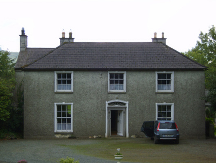 Wingfield HouseFarm house · 1.3 mi1798 MemorialMemorial · 1.7 mi
 Barnadown HouseGates/railings/walls · 1.9 miCastleCastle, motte · 2.3 miWhite Heaps 1798Memorial · 3.1 mi(Site of) Raymond CastleCastle, unclassified · 3.2 mi
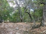 Persian Walnut3.6 mi
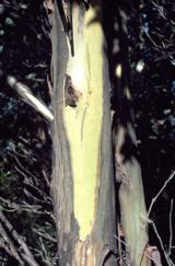 Johnston's gum4.3 mi
More archaeology and monuments in County Wexford · All of County Wexford

What do you know about this place?Tap to add a comment or ask a question