
What is recorded here
From the National Monuments Service (Archaeological Survey of Ireland) record KD023-019
Places near here
Photo credits
- Maker not stated on source page, voyage.supersportgeo.de
- National Inventory of Architectural Heritage
- Maker not stated on source page, heritageireland.ie
- Kenneth Allen, Wikimedia Commons · CC BY-SA 2.0
- Golfing in Ireland; photographer not stated, Source publisher
- Maker not stated on source page, en.topwar.ru
- Andy Cronin, via Athgarvan GAA & LGFA Club, www.athgarvangaa.ie
- Maker not stated on source page, www.irishexaminer.com
- Willow, Wikimedia Commons · CC BY 2.5
- Chhe ( talk ), Wikimedia Commons · Public domain
- Maker not stated on source page, www.interment.net
 CastleCastle, unclassified · 1212 yd
Explorer Tom The castle at Moorfield would describe itself as 'a bit lost' when meeting a stranger, probably while tripping over its…
 water pump1494 yd
Explorer Tom Water pump in Moorfield claims a giant once used it for his morning tea and left a dent in the sky. It’s just standing…
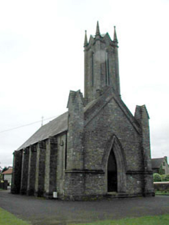 Saint Patrick's Church (Morristownbiller)Church/chapel · 1584 yd
Explorer Tom Saint Patrick's Church in Moorfield is sick of people asking if it’s haunted by nuns. It’s modest and sturdy, built to…
 Military CemeteryCemetery · 1665 yd
Explorer Tom The Military Cemetery in Kildare would post on social media about how it’s the only place where silence is considered…
 Newbridge SilverwareMuseum · 1.2 mi
Explorer Tom Newbridge Silverware began making silver-plated cutlery in 1934, which means this Kildare place has spent decades…
 Royal Curragh Golf ClubGolf course · 1.2 mi
 Enclosure in Curragh (ballysax East Ed)Enclosure · 1.2 mi
Explorer Tom Enclosure in Curragh has an imaginary twin across the sea that’s even more lost. It’s just sitting there, wondering if…
 Athgarvan GAA pitchGAA ground · 1.3 mi
 Fairy fort / earthen ringfort in Blackrath and AthgarvanFairy fort / earthen ringfort · 1.9 mi
Explorer Tom This fairy fort is a horse cemetery, so keep your voice down or they’ll kick you. It’s the ultimate shortcut that leads…
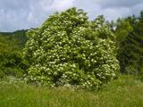 Elder2.2 mi
Explorer Tom An Elder tree almost got sold to a farmer for his horse, but he backed out when it refused to eat oats. It stands there…
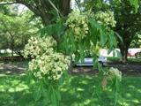 Bee-bee tree3.7 mi
Explorer Tom Bee-bee tree in County Kildare is a secret-keeper that only talks after three pints of rain. It’s got a story about…
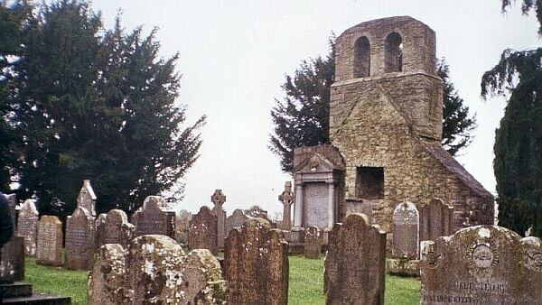 CemeteryGraveyard · 4.7 mi
Explorer Tom Cemetery in Moortown is an unenclosed graveyard where a priest lost a bet on whether the bank would hold or collapse.…
More archaeology and monuments in County Kildare · All of County Kildare

What do you know about this place?Tap to add a comment or ask a question