What is recorded here
Earthwork marked on 1913 ed. OS 6-inch map but not on earlier eds. No evidence now except for differential grass growth. On the E slope of Fahy hill, on good pasture land with standing stone (OF011-002----) located 30m to the NNW. All that survives of this destroyed site is a roughly circular area delineated by nettles and rough ground measuring 34m N-S x 30m E-W. Not marked on first two editions of OS 6-inch maps.
From the National Monuments Service (Archaeological Survey of Ireland) record OF011-003
The monument record does not grant public access. Check the route and ask the landowner before entering private land.
- What survives
- Recorded monument
Places near here
Photo credits
- National Inventory of Architectural Heritage
- Mike Searle, Geograph · CC BY-SA 2.0
- Douglas P.Bermingham, Wikimedia Commons · CC BY-SA 3.0
- Sarah777 at en.wikipedia, Wikimedia Commons · Public domain
- Kenneth Gallery Smyth, Geograph · Creative Commons Attribution-ShareAlike 2.0
- Stephan van Helden, Wikimedia Commons · CC BY-SA 4.0
- Malene Thyssen, Wikimedia Commons · CC BY-SA 3.0
BarrowBarrow, ring-barrow · 257 yd post box538 ydmill (wind)751 ydDunville HouseHouse · 1098 ydClonin EarthworksMountain / peak · 1.6 miMoat HillMountain / peak · 2.3 miCastle JordanArchaeological place · 3.6 miGrange CastleCastle, tower house · 4.4 miCroghan HillMountain / peak · 4.5 miDownan Grave YardGraveyard · 4.5 miHorse-chestnut10 miEuropean Beech13 mi
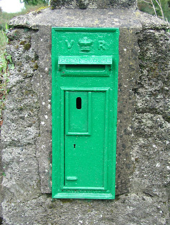 post box538 yd
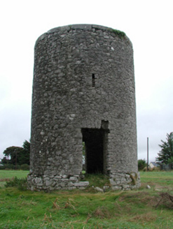 mill (wind)751 yd
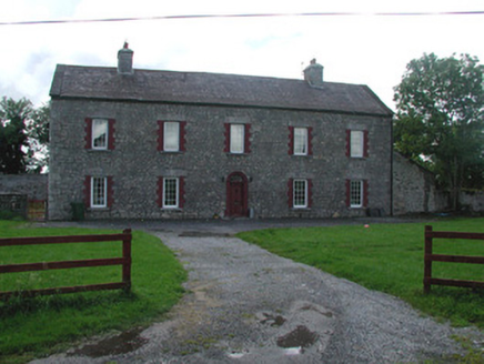 Dunville HouseHouse · 1098 ydClonin EarthworksMountain / peak · 1.6 miMoat HillMountain / peak · 2.3 mi
 Castle JordanArchaeological place · 3.6 mi
 Grange CastleCastle, tower house · 4.4 mi
 Croghan HillMountain / peak · 4.5 mi
 Downan Grave YardGraveyard · 4.5 mi
 Horse-chestnut10 mi
 European Beech13 mi
More archaeology and monuments in County Offaly · All of County Offaly
What do you know about this place?