
What is recorded here
From the National Monuments Service (Archaeological Survey of Ireland) record KD014-050
Places near here
Photo credits
- Maker not stated on source page, www.irishcentral.com
- Royalcanalrunner, Wikimedia Commons · CC BY-SA 4.0
- Maker not stated on source page, allthatsinteresting.com
- Maker not stated on source page, www.flickr.com
- Golfing in Ireland; photographer not stated, Source publisher
- Maker not stated on source page, www.irishexaminer.com
- Alvesgaspar, Wikimedia Commons · CC BY-SA 3.0
- Maker not stated on source page, www.interment.net
- Branaigh, Wikimedia Commons · CC BY-SA 4.0
- Ardclough GAA official club site; individual photographer not stated, ardcloughgaa.clubzap.com
 CastleCastle, unclassified · 407 yd
Explorer Tom Castle in Alasty was recorded in 1655 but vanished before anyone could ask for its number. It’s basically a ghost with…
 Ponsonby BridgeBridge · 986 yd
Explorer Tom Ponsonby Bridge over the Grand Canal has strict rules: no jumping, no crying, no asking why it’s rendered. It’s an…
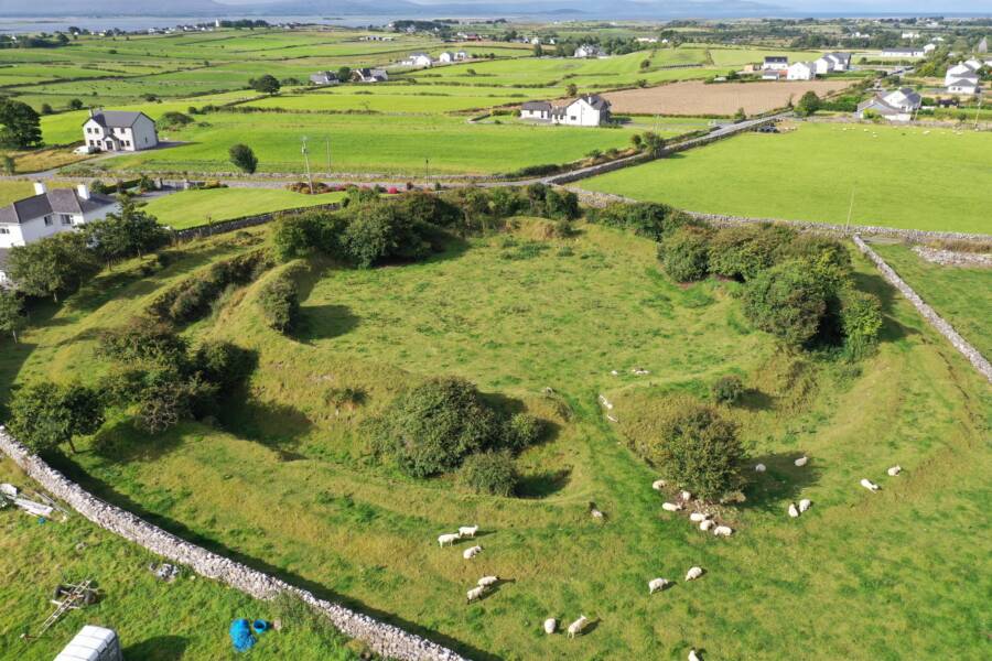 Fairy fort / ringfort in Turnings UpperFairy fort / ringfort · 1310 yd
Explorer Tom Fairy fort / ringfort in Turnings Upper has no surface trace left, just a house sitting on top of it. It would handle a…
 Whitechurch GraveyardGraveyard · 1567 yd
Explorer Tom Whitechurch Graveyard started because two lads bet £5 that they could find a ghost in an afternoon. They lost, but now…
 Killeen Golf ClubGolf course · 1619 yd
 Devonshire BridgeBridge · 1658 yd
Explorer Tom Devonshire Bridge in Killeenbeg is an unusually tall stone arch that looks like it's trying to reach the clouds instead…
 Fairy fort / ringfort in Bishopscourt UpperFairy fort / ringfort · 1.0 mi
Explorer Tom Fairy fort / ringfort in Bishopscourt Upper can juggle water-filled ditches when it feels like showing off. The trees…
 Fairy fort / earthen ringfort in Daars SouthFairy fort / earthen ringfort · 1.1 mi
Explorer Tom Fairy fort / earthen ringfort in Daars South is on a headland, looking down its nose at modern houses. It’s got strong…
 Common Lime1.1 mi
Explorer Tom This Common Lime is probably hearing every gossip session from the next door house through its bark. It doesn’t judge…
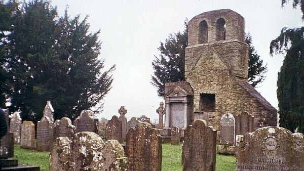 Flat cemetery in Kill East (kill Ed)Flat cemetery · 1.8 mi
Explorer Tom Flat cemetery in Kill East is an amorphous pit that makes a weird humming sound at night, probably because it’s…
 Battle of GlenmamaMajor battlefield · 2.1 mi
Explorer Tom Battle of Glenmama in County Kildare has an imaginary fan club that meets only when the fog rolls in thick. They argue…
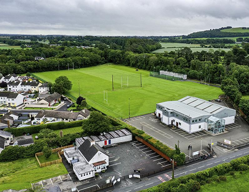 Ardclough GAA pitchGAA ground · 2.2 mi
More archaeology and monuments in County Kildare · All of County Kildare

What do you know about this place?Tap to add a comment or ask a question