What is recorded here
The following description is derived from both the published 'Archaeological Inventory of County Louth' (Dublin: Stationery Office, 1986) and the 'Archaeological Survey of County Louth' (Dublin: Stationery Office, 1991). In certain instances the entries have been revised and updated in the light of recent research.
Date of upload/revision: 17 July 2007
Site of doubtful antiquity, as E ridge may be natural slope. Stone and earthen bank running E-W but at E end it divides in two with fosse between two banks. Locally known as 'mound'. (IFC Schools MSS 669, 92; OS Memorandum 6342 A; CLAJ 1908, 43).
The monument record does not grant public access. Check the route and ask the landowner before entering private land.
- What survives
- Recorded monument
Places near here
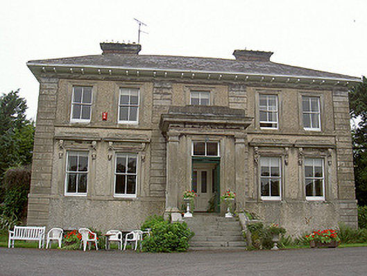 Shanlis Housecountry house · 525 yd
 ToberdoneyHoly well · 755 yd
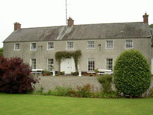 Curraghbeg Housecountry house · 1085 yd
 CastleCastle, unclassified · 1225 yd
 Enclosure in PurcellstownEnclosure · 1301 yd
 Screedoge HillMountain / peak · 1631 yd
 European White ElmEuropean White Elm · 1.3 mi
 Valley WoodWood · 1.5 mi
 Sir Frederick Foster MemorialMemorial · 1.7 mi
 Dawsons MoatCastle, motte and bailey · 2.1 mi
 Graveyard in StickillinGraveyard · 2.9 mi
 Gun HillMountain / peak · 3.6 mi