
What is recorded here
Not visible at ground level. Grave-slab in W wall of church at Ballyburly see SMR 11:56 for portion of cross said to have come from this site (SMR 4:13) said to be from here.
The above description is derived from the published 'Archaeological Inventory of County Offaly' (Dublin: Stationery Office, 1997). In certain instances the entries have been revised and updated in the light of recent research.
Date of upload: 23 May 2011
The monument record does not grant public access. Check the route and ask the landowner before entering private land.
- What survives
- Recorded monument
Places near here
 CrossCross, Wayside cross · 43 yd
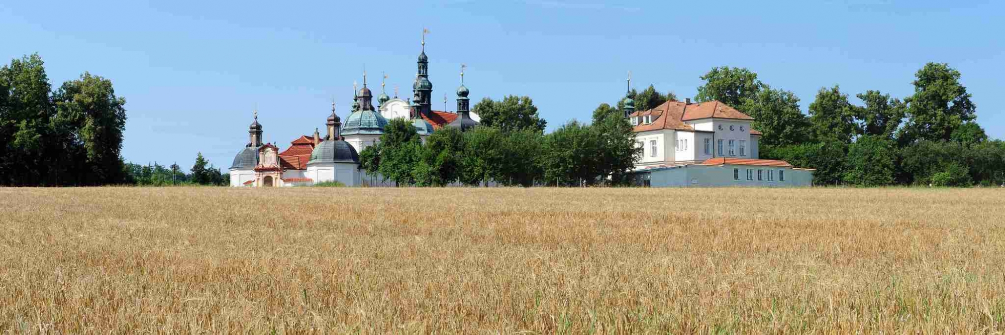 Church (in Ruins), Monastery (Site of)Religious house, Franciscan nuns (Poor Clares) · 102 yd
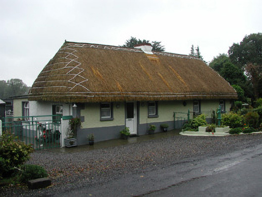 farm housefarm house · 301 yd
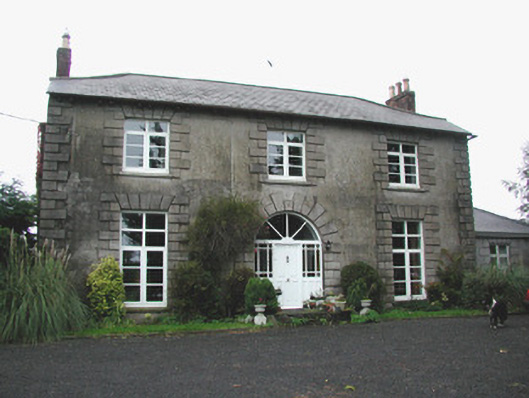 Coolville Househouse · 693 yd
 Clonin EarthworksMountain / peak · 1681 yd
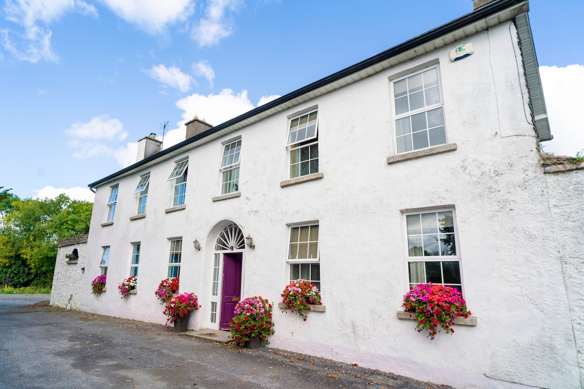 Ballyburly Ho.Castle, unclassified · 1.3 mi
 Moat HillMountain / peak · 1.6 mi
 Holy PlantationForest · 1.7 mi
 Victoria PlantationWood · 1.9 mi
 OutlinedBawn · 2.1 mi
 Croghan HillMountain / peak · 3.4 mi
 Croghan Hill WalkVisitor information · 3.6 mi
Other information
Photo: Credit not shown in the picture search · Rights wording not checked; contact us if this picture should be removed