
What is recorded here
Detached multiple-bay two-storey outbuilding, built c. 1830, with single-storey extension to west gable. Pitched slate roof. Rubble limestone walls. Square-headed window openings and elliptical-arched carriage arches with dressed stone voussoirs and remains of timber fittings. Farm entrance to north with rubble stone…
Read the whole record
Detached multiple-bay two-storey outbuilding, built c. 1830, with single-storey extension to west gable. Pitched slate roof. Rubble limestone walls. Square-headed window openings and elliptical-arched carriage arches with dressed stone voussoirs and remains of timber fittings. Farm entrance to north with rubble stone square-profile piers and wrought-iron double-leaf gates. Two-bay single-storey outbuilding to west with pitched slate roof, rendered walls, and square-headed window opening with fixed timber window. Detached five-bay single-storey house to south with gablets and two-bay return to rear (north) elevation. Hipped slate roof with rendered chimneystacks having ceramic pots. Rendered walls. Square-headed openings with two-over-two pane timber sliding sash windows to return, replacement windows elsewhere. Round-headed door opening with round-headed timber panelled double-leaf door with integral toplights. Rendered square-profile piers to site entrance. Recent detached gate lodge to site entrance.
Simple repetitive form indicative of practical origins. Large voussoirs enhance carefully made arched openings. Contextualised by nearby house and gate lodge.
From the Buildings of Ireland (National Inventory of Architectural Heritage) record 20906634
Places near here
Photo credits
- National Inventory of Architectural Heritage
- Hywel Williams, Geograph · Creative Commons Attribution-ShareAlike 2.0
- Mike Searle, Wikimedia Commons · CC BY-SA 2.0
- Andy Beecroft, Geograph · CC BY-SA 2.0
- Mac McCarron, Geograph · Creative Commons Attribution-ShareAlike 2.0
- Hywel Williams, Geograph · CC BY-SA 2.0
- Jim Woodward-Nutt, Wikimedia Commons · CC BY-SA 2.0
- Antiqueight, Wikimedia Commons · CC BY-SA 4.0
- David Dixon, Geograph · CC BY-SA 2.0
- Jonathan Thacker, Geograph · Creative Commons Attribution-ShareAlike 2.0
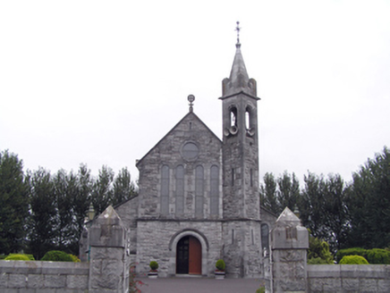 Catholic Church of the Sacred Heart of JesusChurch/chapel · 316 yd
 Mogeely Railway StationRailway station · 326 yd
 Pigeon WoodWood · 1.3 mi
 Castlemartyr CastleCastle · 1.5 mi
 N25 Picnic SitePicnic place · 1.7 mi
 Grave YardGraveyard · 1.9 miMitchell's WoodWood · 2.0 mi
 Ballintotis Castle (in Ruins)Castle, tower house · 2.4 mi
 Jameson Distillery MidletonHeritage attraction · 4.8 mi
 Midleton ira MonumentMemorial · 5.0 mi
 Nellie Cashman MonumentMemorial · 5.1 mi
 St Laurences Well (covered)Holy well · 5.5 mi
More historic places in County Cork · All of County Cork
What do you know about this place?Tap to add a comment or ask a question