What is recorded here
In pasture, on gentle SSE-facing slope. Part of moated site complex (TS068-007---), adjoins moated site (TS068-00702-) to S. Low profile remains of sub-rectangular enclosure which appears to have been largely levelled and modified. It is depicted on 1905 OS 6-inch map as a rectangular enclosure (dims. c. 40m N-S; c. 35m E-W), defined by scarp on all sides and conjoining/abutting moated site (TS068-00702-) to N. Now only a scarp (Wth 1.5m; H 0.3m) clearly defines N-side and area to N of latter, may represent in-filled fosse shared between this monument and adjoining moated site (TS068-00702-). Bank at E-end of N-side is more defined and appears to curve round to SSE and may have been modified to form part of a later field system (TS068-00706-). Linear bank crossing site diagonally (long-axis NE-SW) may be a continuation of a later field boundary which crosses interior of moated site (TS068-00701-) to NE. Leat system (TS068-00705-) to NW and NE. Field system (TS068-00706-) to S and SE.
Compiled by: Jean Farrelly
Date of upload: 26 August 2011
The monument record does not grant public access. Check the route and ask the landowner before entering private land.
- What survives
- Recorded monument
Places near here
 Enclosure in Thomastown Demesne SouthEnclosure · 139 yd
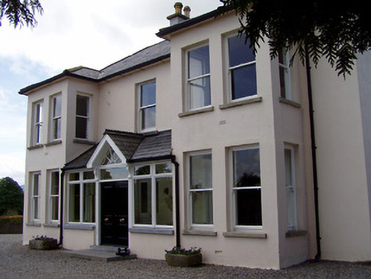 Rathduff Househouse · 522 yd
 IndicatedEnclosure, large enclosure · 838 yd
 CastleCastle, ringwork · 1227 yd
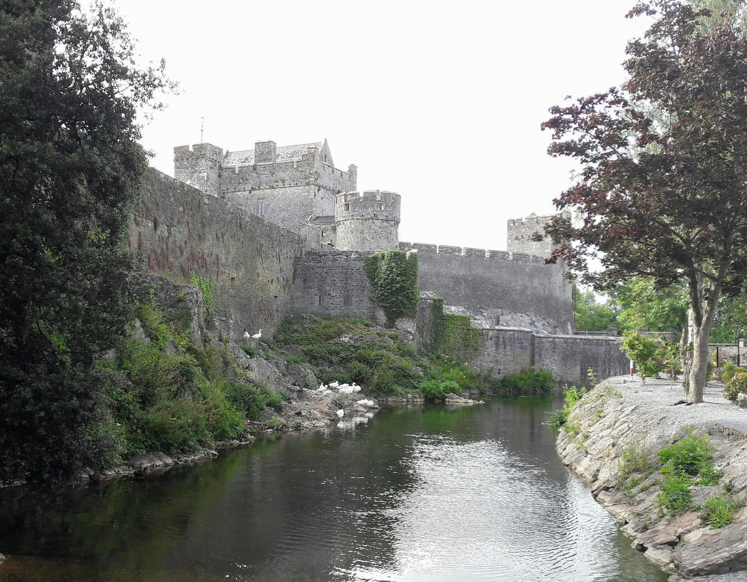 Ballymacady CastleCastle · 1386 yd
 Templegobban (in ruins)Church · 1549 yd
 Athassel PrioryHeritage attraction · 1.7 mi
 European ashEuropean ash · 3.4 mi
 Bansha ForestForest · 4.4 mi
 SturrakeenMountain / peak · 5.9 mi
 The RockViewpoint · 6.2 mi
 Laghtshanaquilla North-East TopMountain / peak · 6.4 mi