What is recorded here
In reclaimed pasture, immediately N of watercourse that forms townland boundary with Tobernea East. Pouladragoon Bridge 119m to E. Depicted on the 1840 ed. OSi 6-inch map as a large circular-shaped earthwork, intersected at N by a post-1700 field boundary running E-W. Shown on the 1897 ed. OSi 25-inch map as a large sub-circular shaped area (dims. c. 93m N-S x 83m E-W) enclosed by a bank, fosse and external bank with gap in outer bank at W. External bank and fosse transected at S by stream running E-W. Described by H. A. Wheeler in 1974 as follows; ‘This appears to be the side of a medieval moated house and to be of considerable archaeological interest’ (SMR file). Monument visible as a large sub-circular area enclosed by a single tree-lined bank with fosse on Digital Globe orthoimage taken between 2011-13 and on Google Earth orthoimages. Traces of cropmark of levelled inner enclosing bank visible on Digital Globe orthoimage taken 2011-13.
See attached Google Earth orthoimages.
Compiled by: Fiona Rooney
Date of upload: 8 September 2021
The monument record does not grant public access. Check the route and ask the landowner before entering private land.
- What survives
- Recorded monument
Places near here
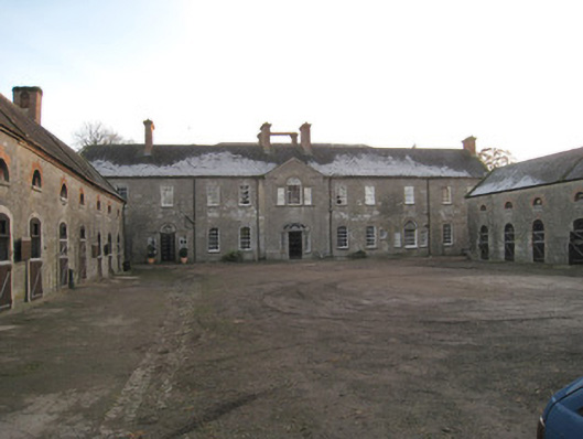 Ash Hillstables · 1497 yd
 BarrowBarrow, unclassified · 1563 yd
 St Bridget's WellSpring · 1573 yd
 Mound in Ash HillMound · 1580 yd
 Site of Castle CooteBawn · 1612 yd
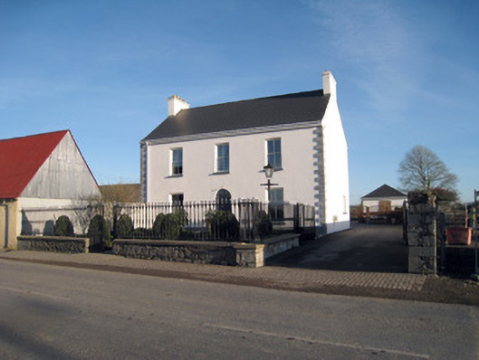 Gortboy Househouse · 1746 yd
 Site of CastleCastle, unclassified · 1.2 mi
 King John's CastleCastle · 1.3 mi
 Kilmallock AbbeyHeritage attraction · 1.4 mi
 Lady's WellSpring · 2.0 mi
 Caher HillMountain / peak · 3.9 mi
 Holy Cross CemeteryGraveyard · 4.5 mi