
What is recorded here
In pasture, immediately to N (c. 4m) of the avenue leading to Ash Hill Towers country house. A grass-covered oblong mound (14.6m N-S; 22.8m E-W) with the traces of a possible shallow fosse (Wth 1.8m; D 0.15m) NNW-ENE. The mound is highest (H 1.2m) at its centre point and is abutted by a farm trackway at NW. It would appear that when trees were planted along the N side of the avenue about 200 years ago, they were planted in an arc around the mound as if to respect its presence. In a letter to her American fiancé dated 15 March 1908, Eileen (Weldon) notes "close to the avenue, as they call it, although there are trees on only one side of the road, is a large green mound which is supposed to mark the burial place of one of the Irish chieftains and a number of his followers. It was the custom in those days to bury a dozen or so of his slaves with every chieftain. Father says he would like to explore the spot, but not a man could be found who would put a spade into the sacred earth".
Compiled by: Matt Kelleher
Date of upload: 30 April 2015
The monument record does not grant public access. Check the route and ask the landowner before entering private land.
- What survives
- Recorded monument
Places near here
 Site of Castle CooteBawn · 103 yd
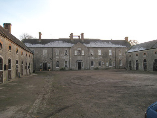 Ash Hillstables · 254 yd
 Mound in Ash HillMound · 305 yd
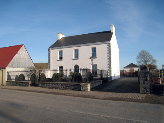 Gortboy Househouse · 383 yd
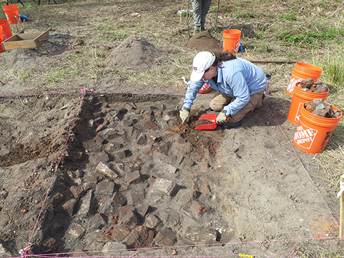 ExcavationExcavation, miscellaneous · 384 yd
 King John's CastleCastle · 729 yd
 Kings CastleCastle, tower house · 730 yd
 Kilmallock AbbeyHeritage attraction · 915 yd
 St Bridget's WellSpring · 1.5 mi
 Lady's WellSpring · 2.8 mi
 Caher HillMountain / peak · 4.7 mi
 Holy Cross CemeteryGraveyard · 5.1 mi
Other information
Photo: Credit not shown in the picture search · Rights wording not checked; contact us if this picture should be removed