What is recorded here
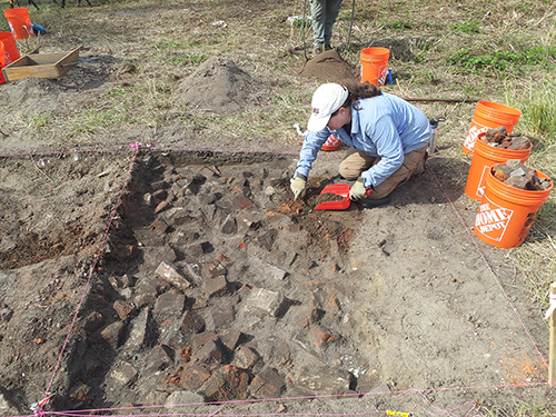
To the W of Emmet Street and within the former demesne lands of Ash Hill Towers, located 350m to SW. On the S outskirts of Kilmallock historic town (LI047-022001-), site of Castle Coote (LI047-021002-) and enclosure (LI047-021001-) 240m to S, gatehouse (Blossom Gate)(LI047-022007-) of Kilmallock town walls 170m to NE. Medieval ditch identified by Rory Sherlock during archaeological pre-development testing (Licence No. 03E1609) associated with a housing development project, the results were summarised as following; ‘A large number of features were investigated in the low-lying area between the town and the hill upon which the castle site is situated and, though most of these appeared to derive from early modern agricultural activity, one shallow ditch was found, when sectioned, to contain three pieces of medieval pottery. No other finds or features of archaeological interest were noted’ (www.excavations.ie 2003; No. 1164, Sherlock 2003).
Compiled by: Martin Fitzpatrick
Date upload: 20 August 2021
The monument record does not grant public access. Check the route and ask the landowner before entering private land.
- What survives
- Recorded monument
Places near here
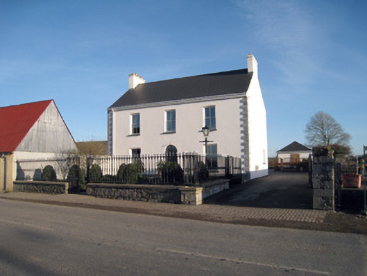 Gortboy Househouse · 171 yd
 CastleGatehouse · 195 yd
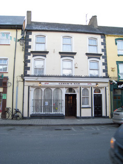 Lynch'shouse · 248 yd
 CrossCross, Market cross · 288 yd
 Site of Castle CooteBawn · 290 yd
 King John's CastleCastle · 411 yd
 Kings CastleCastle, tower house · 412 yd
 Kilmallock AbbeyHeritage attraction · 574 yd
 St Bridget's WellSpring · 1.6 mi
 Lady's WellSpring · 3.0 mi
 Caher HillMountain / peak · 4.9 mi
 Ballyhoura tourist informationVisitor information · 5.3 mi
Other information
Photo: Credit not shown in the picture search · Rights wording not checked; contact us if this picture should be removed