What is recorded here
On a SE-facing slope of hill in hilly terrain under pasture. Rectangular enclosure (Wth 43.5m NE-SW; 58m NW-SE) with curving corners, defined by a bank (Wth 4.3-7.4m; int. H 0.32-1.27m; ext. H 1.23-1.63m) and fosse (Wth 2.2-3.4m; D 0.92-1.1m), particularly deep on NE side, with slight outer bank (Wth 2.7m; ext. H 0.6m) at E end of NE side. House platform in NW sector taking advantage of the natural rise in slope. Otherwise interior is level and quite wet as evidenced by rushes. A house platform (TS062-008003-) utilises the NW bank of the moated site to form its NW side, otherwise it is defined by scarp (H 0.95m). Near the W angle on the SW side there is a circular depression (TS062-008002-) indicated as 'cave' on the 1903-04 ed. OS 6-inch map. At the S angle the outer bank curves away from the moated site and terminates at the ditch of a field boundary which runs NW-SE along SW side. According to Barry (1977, 94) the fosse was supplied with water by a local spring.
Compiled by: Jean Farrelly
Date of revised upload: 8 October 2014
The monument record does not grant public access. Check the route and ask the landowner before entering private land.
- What survives
- Recorded monument
Places near here
 Enclosure in Knockanglass (killenaule Par.)Enclosure · 573 yd
 EnclosureEnclosure, large enclosure · 993 yd
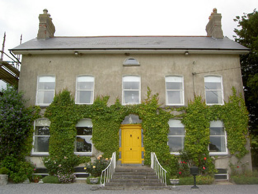 Lismortagh Househouse · 1055 yd
 Mortlestown Castle RuinCastle · 1323 yd
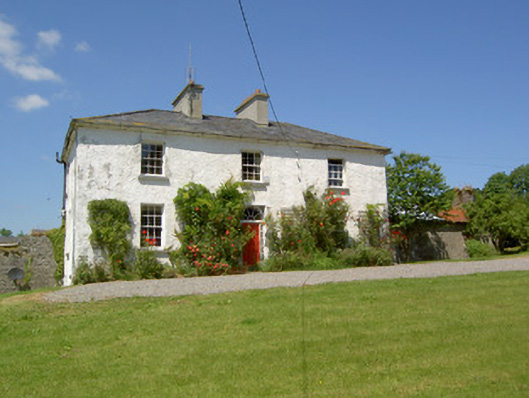 Knockanglass Househouse · 1550 yd
 Site of CastleCastle, unclassified · 1.2 mi
 Eagle HillMountain / peak · 2.7 mi
 Noan WoodWood · 3.1 mi
 Kilknockan HillMountain / peak · 3.6 mi
 Taylor's WoodWood · 3.6 mi
 Gobban Saer's GraveArchaeological place · 4.7 mi
 East GateMemorial · 4.8 mi