
What is recorded here
On gradual SSW-facing slope of hill in undulating terrain under tillage. Small, deep (D c. 20m) slate quarry located 10m to E of the monument. Enclosure has been levelled c. 1970s but is still visible as a circular enclosure (diam. 31m N-S; 32.8m E-W) defined by a low, flattened earthen bank (Wth 10.5m; int. H 0.24m; ext. H 0.17m) in all but the S quadrant. where the bank is reduced to scarp (Wth 5.8m; ext. H 1m). Though the enclosure has been planted with cereal in the past it was left fallow this year when it was realized there was a 'fort' present.
Compiled by: Jean Farrelly
Date of revised upload: 8 October 2014
The monument record does not grant public access. Check the route and ask the landowner before entering private land.
- What survives
- Recorded monument
Places near here
 EnclosureEnclosure, large enclosure · 609 yd
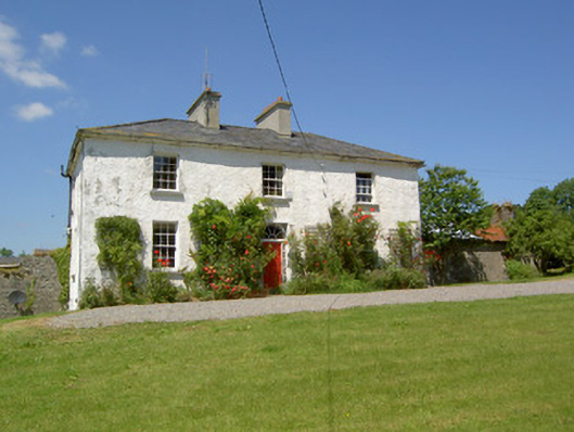 Knockanglass Househouse · 1022 yd
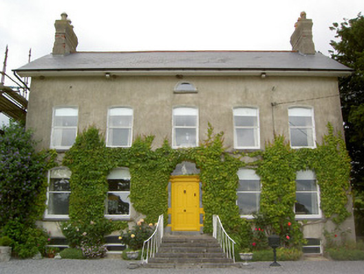 Lismortagh Househouse · 1566 yd
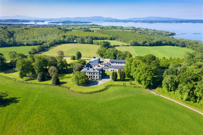 Enclosure in Coolbaun (cooleagh Par.)Enclosure · 1616 yd
 Mortlestown Castle RuinCastle · 1.1 mi
 Site of CastleCastle, unclassified · 1.1 mi
 Noan WoodWood · 2.9 mi
 Eagle HillMountain / peak · 3.1 mi
 Taylor's WoodWood · 3.4 mi
 Kilknockan HillMountain / peak · 3.6 mi
 Gobban Saer's GraveArchaeological place · 4.6 mi
 East GateMemorial · 4.7 mi
Other information
Photo: Credit not shown in the picture search · Rights wording not checked; contact us if this picture should be removed