
What is recorded here
In improved pasture, on a steep S-facing slope. Identified on aerial photography (GSI S.598/9 16/04/1974), this poorly preserved, large oval area (dims. 74m E-W; 56m N-S) is defined by a low earthen bank (overall Wth 4.1m; Wth at top 2.1m; int. H 0.55m; ext. H 0.1m) which is reduced to scarp (Wth 4.5m; H 0.95m) intermittently downslope to S and a fosse (overall Wth 7-7.5m; basal Wth 2m; D 0.15-0.4m) best preserved in the NW and SE quadrants, but generally backfilled. The interior slopes down steadily to the S. There is a large depression in the NE quadrant in the area of the fosse. The outline of a field boundary which ran NNE-SSW along the N side of the monument is faintly visible.
Compiled by: Jean Farrelly
Date of upload: 26 August 2011
The monument record does not grant public access. Check the route and ask the landowner before entering private land.
- What survives
- Recorded monument
Places near here
 Enclosure in Knockanglass (killenaule Par.)Enclosure · 609 yd
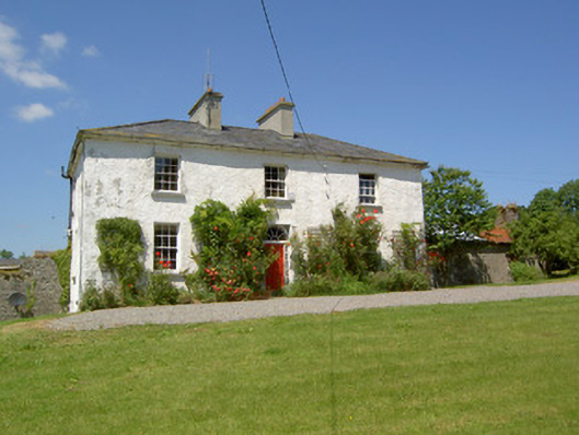 Knockanglass Househouse · 1071 yd
 Site of CastleCastle, unclassified · 1425 yd
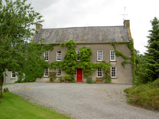 Clonbrogan Househouse · 1.1 mi
 St. Brogans WellHoly well · 1.2 mi
 Mortlestown Castle RuinCastle · 1.3 mi
 Noan WoodWood · 2.5 mi
 Taylor's WoodWood · 3.0 mi
 Eagle HillMountain / peak · 3.3 mi
 Ballinure HillMountain / peak · 3.6 mi
 Gobban Saer's GraveArchaeological place · 4.3 mi
 East GateMemorial · 4.9 mi
Other information
Photo: Credit not shown in the picture search · Rights wording not checked; contact us if this picture should be removed