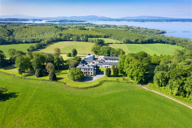
What is recorded here
On a gentle SE -acing slope in gently undulating terrain, in pasture. Monument levelled but is still visible as a roughly circular enclosure (diam. 30.5m N-S; c. 37m E-W). A field boundary which ran E-W along N edge of the enclosure and another which ran N-S along W edge (Wth 2.35m; int. H 1.2m; ext. H 1.2m) are still in situ, the S and E quadrants are defined by a low scarp (Wth 4m; ext. H 0.26m). Both field banks have been truncated by cattle.
Compiled by: Jean Farrelly
Date of upload: 26 August 2011
The monument record does not grant public access. Check the route and ask the landowner before entering private land.
- What survives
- Recorded monument
Places near here
 Enclosure in Moglass (killenaule Par.)Enclosure · 229 yd
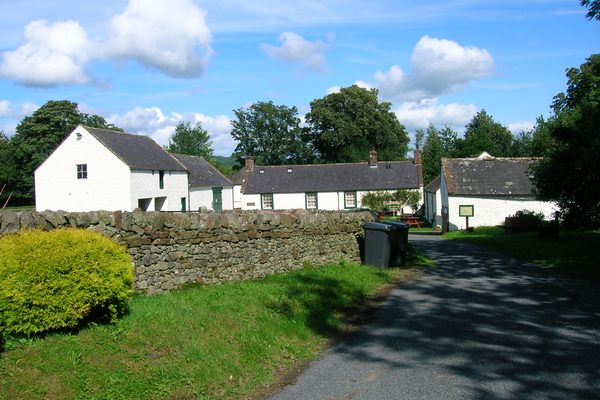 Burnt spread in Coolbaun (cooleagh Par.)Burnt spread · 1067 yd
 CastleCastle, unclassified · 1282 yd
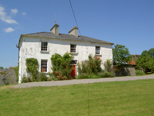 Knockanglass Househouse · 1392 yd
 Church in ruins, Grave YardChurch · 1447 yd
 Carrigeen CastleCastle · 1.4 mi
 Kilknockan HillMountain / peak · 2.7 mi
 Eagle HillMountain / peak · 3.3 mi
 Noan WoodWood · 3.6 mi
 East GateMemorial · 3.8 mi
 European YewEuropean Yew · 3.8 mi
 Cashel Folk MusuemMuseum · 8.0 mi
Other information
Photo: Credit not shown in the picture search · Rights wording not checked; contact us if this picture should be removed