
What is recorded here
On a very gentle E-facing slope in gently undulating rough pasture. The church is located midway along the W side of a sub-rectangular graveyard (TS062-057001-) which is enclosed by a limestone wall capped roughly with cement. A ditch is cut along the internal N side of the boundary wall with upcast thrown inward forming a low bank. According to the Royal Visitation Book [Date 1615?] the church was in ruins 'Ecclesia de Cowlagh - Rectoria impropriata, vicaria unita es Decanatui. Ecclesia et Cancella ruinosa nullus Curatus' (O'Flanagan 1930, vol. 2, 164). The Civil Survey (1654-6) mentions that there were 'on the lands of Cooleagh two little gardens of Gleabland, ditched about neare the Church' (Simington 1931, vol. 1, 175). The church, aligned E-W, is composed of roughly cut blocks of limestone, roughly coursed. Only a length of the S wall (L 12.15m; T 1.14m; H 3.4m) and portion of the W gable (L 5.12m; T 0.75m; H c. 5m) survive, with cut and dressed limestone quoins in SW angle. Of the doorway (Wth 1.34m) towards E end of S wall, only the flat segmental-arched inner embrasure survives. However, two jambs with double-chamfers were visible in the graveyard, one at the doorway and another SE of the church. The ext. face of the W gable is heavily ivy clad, with trees growing immediately outside among collapsed rubble.
Compiled by: Jean Farrelly
Date of upload: 26 August 2011
The monument record does not grant public access. Check the route and ask the landowner before entering private land.
- What survives
- Recorded monument
Places near here
 Concentric enclosure in Cooleagh (cooleagh Par.)Concentric enclosure · 382 yd
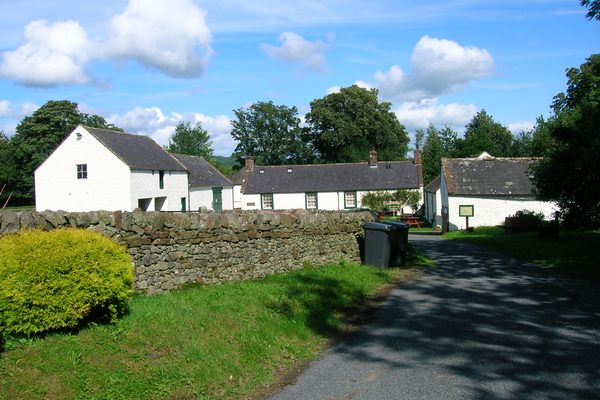 Burnt spread in Coolbaun (cooleagh Par.)Burnt spread · 414 yd
 CastleCastle, unclassified · 742 yd
 Saint Johnstown CastleCastle · 1282 yd
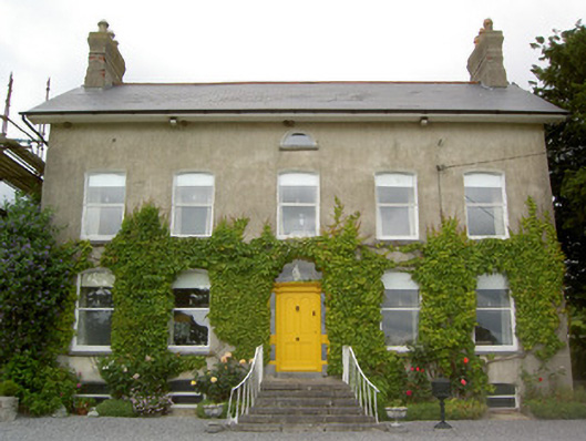 Lismortagh Househouse · 1392 yd
 St. Johnstown ChurchChurch · 1406 yd
 Eagle HillMountain / peak · 2.6 mi
 Kilknockan HillMountain / peak · 2.7 mi
 East GateMemorial · 3.8 mi
 European YewEuropean Yew · 3.9 mi
 Noan WoodWood · 4.2 mi
 Cashel Folk MusuemMuseum · 8.8 mi
Other information
Photo: Credit not shown in the picture search · Rights wording not checked; contact us if this picture should be removed