
What is recorded here
On a gentle SE-facing slope in undulating terrain, surrounded by pasture. The SW and E quadrants are heavily overgrown with scrub and brambles. Monument consists of a circular area (diam. c. 20-30m) defined by a broad, round-topped bank (Wth 11.6m; int. H 0.7m; ext. H 0.88), fosse (Wth 3.1-3.4m; D 0.2-1.1m), berm (Wth 23m), outer bank (Wth 2.7m; int. H 0.5m; ext. H 1.35m) and outer fosse (Wth 3m; D 0.95m). Inner fosse is most clearly defined in the E quadrant. A drain has been cut through the monument in the SE quadrant. The concentric enclosure is depicted as such on both the 1st and latest ed. OS 6-inch map and is clearly visiible on an aerial photograph taken in 1974 (GSI S.623/2).
Compiled by: Jean Farrelly
Date of upload: 26 August 2011
The monument record does not grant public access. Check the route and ask the landowner before entering private land.
- What survives
- Recorded monument
Places near here
 Church in ruins, Grave YardChurch · 382 yd
 CastleCastle, unclassified · 430 yd
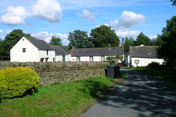 Burnt spread in Coolbaun (cooleagh Par.)Burnt spread · 641 yd
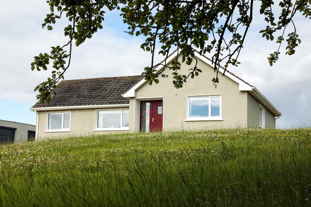 Enclosure in Coolbaun (cooleagh Par.)Enclosure · 761 yd
 Saint Johnstown CastleCastle · 1416 yd
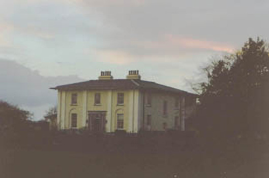 Coolmore Housecountry house · 1513 yd
 Kilknockan HillMountain / peak · 2.4 mi
 Eagle HillMountain / peak · 2.7 mi
 East GateMemorial · 3.6 mi
 European YewEuropean Yew · 3.6 mi
 Noan WoodWood · 4.4 mi
 Cashel Folk MusuemMuseum · 8.8 mi
Other information
Photo: Credit not shown in the picture search · Rights wording not checked; contact us if this picture should be removed