What is recorded here
In improved, yet rough pasture, on a SE-facing slope with excellent views of Slievenamon to S. Multivallate ring-barrow (TS062-010001-) is c. 3.5m to NW. A large and possibly circular enclosure (diam. c. 100-140m), though only the W-N-NE portion of the enclosing element is visible on an aerial photograph (GSI AP S.623/2, 16 April 1974). The portion of the NW quadrant (dims. 50m ENE-WSW; 58m NNW-SSE) is defined by an arc (chord 68m) of scarp (Wth 1m; H 0.25m) from WSW to NNW. It is enclosed by a narrow fosse (overall Wth 2.75m; basal Wth 1m; D 0.25m); berm (Wth 3m; H 0.25m) and outer bank (overall wth 5.75m; Wth at top 2.45m; int. H 0.65m; ext. H 0.45m). This portion of the monument is truncated by a field boundary to E running NNW-SSE and to S running WSW-ENE. The interior slopes to the SE. The rest of the monument is not visible at ground level.
Compiled by: Jean Farrelly
Date of upload: 26 August 2011
A local fairy fort (ringfort/rath); wider significance not recorded.
The monument record does not grant public access. Check the route and ask the landowner before entering private land.
- What survives
- Recorded monument
Places near here
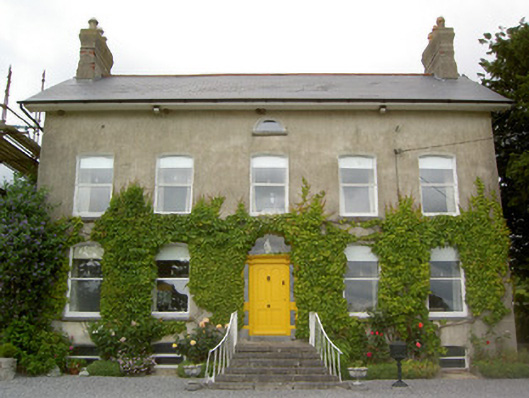 Lismortagh Househouse · 242 yd
 LismortaghFairy fort / earthen ringfort · 353 yd
 IndicatedFairy fort / earthen ringfort · 1021 yd
 Mortlestown Castle RuinCastle · 1127 yd
 Church in ruins, Grave YardChurch · 1249 yd
 CastleCastle, unclassified · 1.1 mi
 Eagle HillMountain / peak · 2.4 mi
 Kilknockan HillMountain / peak · 3.3 mi
 Noan WoodWood · 3.7 mi
 Taylor's WoodWood · 4.2 mi
 East GateMemorial · 4.5 mi
 Gobban Saer's GraveArchaeological place · 5.1 mi
Other information
Photo: Credit not shown in the picture search · Rights wording not checked; contact us if this picture should be removed