
What is recorded here
In level pasture, truncated by a regional road across the ESE sector. A multivallate ringfort (TS062-052----) is located c. 40m to the SE. A semi-circular area (dims. 35m NE-SW; c. 18m NW-SE) from SW-N-NE survives, defined by a bank (overall Wth 5.5m; Wth at top 1.5m; int. H 0.6m; ext. H 1.35m); a wide, flat-bottomed fosse (overall Wth 7.4m; basal Wth 2.9m; D 1.05m), a berm (Wth 2.75m) with a low, bank (overall Wth 3.35m; Wth at top 1.0m; int. H 0.2m; ext. H 0.7m) along its outer edge; a wide and flat-bottomed outer fosse (overall Wth 6.45m; basal Wth 3.5m; D 0.3m) and a well preserved bank which is probably a field boundary (overall Wth 2.75m; Wth at top 0.75m; int. H 0.6m; ext. H 0.5m). The berm opens out wider at NW where it is also defined by a low bank (overall Wth 4.6m; Wth at top 1.9m; int. H 0.8m; ext. H 0.2m) on its inner edge. The interior is concave and densely overgrown. The NE-S-SW portion of the monument is not visible at ground level in the field to the ESE.
Compiled by: Jean Farrelly
Date of upload: 26 August 2011
The monument record does not grant public access. Check the route and ask the landowner before entering private land.
- What survives
- Recorded monument
Places near here
 EnclosureEnclosure, large enclosure · 353 yd
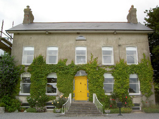 Lismortagh Househouse · 511 yd
 Enclosure in Coolbaun (cooleagh Par.)Enclosure · 691 yd
 Church in ruins, Grave YardChurch · 897 yd
 Mortlestown Castle RuinCastle · 1411 yd
 CastleCastle, unclassified · 1527 yd
 Eagle HillMountain / peak · 2.4 mi
 Kilknockan HillMountain / peak · 3.1 mi
 Noan WoodWood · 3.8 mi
 East GateMemorial · 4.3 mi
 European YewEuropean Yew · 4.3 mi
 Gobban Saer's GraveArchaeological place · 5.3 mi
Other information
Photo: Credit not shown in the picture search · Rights wording not checked; contact us if this picture should be removed