
What is recorded here
On a natural rise above bogland on the valley floor, with a stream running roughly E-W c. 40m to the N. There are moderate views from this location. Carrigan (1905, vol. 2, 320) describes an area called 'Dhooneeach' close to Lisdowney village, with a field called the well field. This appears to be a field c. 300m NW…
Read the whole record
From the National Monuments Service (Archaeological Survey of Ireland) record KK009-070001
Places near here
Photo credits
- Maker not stated on source page, allthatsinteresting.com
- Andy Ryan / 1803 Productions, credited by Kilkenny GAA, kilkennygaa.ie
- kevin higgins, Wikimedia Commons · CC BY-SA 2.0
- Maker not stated on source page, www.pinterest.com
- Maker not stated on source page, www.dreamstime.com
- National Inventory of Architectural Heritage
- A.-K. D., Wikimedia Commons · CC0
- Maker not stated on source page, www.flickr.com
- Maker not stated on source page, commons.wikimedia.org
- Maker not stated on source page, nl.pinterest.com
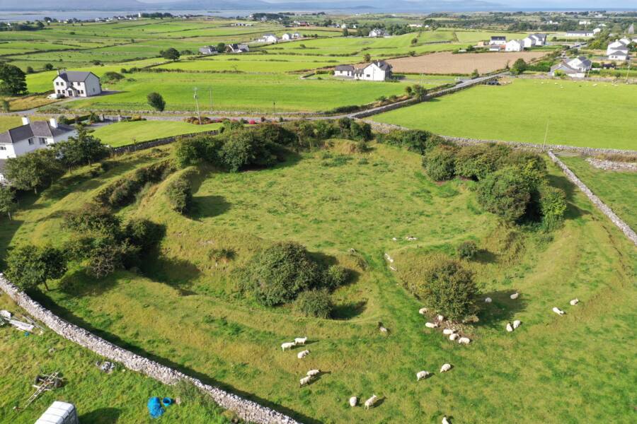 Fairy fort / ringfort in LisdowneyFairy fort / ringfort · 53 yd
Explorer Tom Fairy fort in Lisdowney makes Saint Patrick look like a tourist with bad boots. It’s sitting on a rise above the bog…
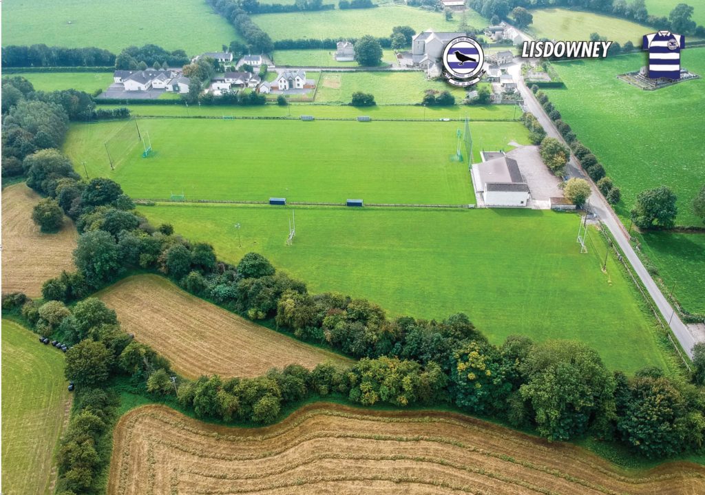 Lisdowney GAA pitchGAA ground · 379 yd
 Saint Brigid's Catholic ChurchChurch/chapel · 438 yd
Explorer Tom Saint Brigid's Catholic Church in Lisdowney ended up in the wrong place because the architect got drunk on Gothic style…
 Lisdowney GraveyardGraveyard · 445 yd
Explorer Tom Lisdowney Graveyard in County Kilkenny has a secret talent for growing the most aggressive nettles in the county…
 Graveyard in Seskin SouthGraveyard · 950 yd
Explorer Tom Graveyard in Seskin South is haunted by a fiddler who played all night until he dropped his bow into the stream, where…
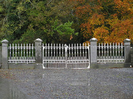 Seskin HouseGates/railings/walls · 986 yd
Explorer Tom Seskin House gates are proud of their ironwork, which is a bit much for a fence, honestly. They stand there looking…
 St. Bridgets WellHoly well · 1303 yd
Explorer Tom St. Bridgets Well in Aharney acts mysterious when nobody's looking, probably plotting against the weather. Pilgrims…
 Fairy fort / earthen ringfort in ArcherstownFairy fort / earthen ringfort · 1378 yd
Explorer Tom Fairy fort / earthen ringfort in Archerstown claims seagulls critique its bank height every single morning. The…
 Earthwork in Seskin NorthEarthwork · 1484 yd
Explorer Tom Earthwork in Seskin North is playing wind-chime with the valley. The castle it once hugged has vanished into thin air…
 Saint Brigid's CemeteryGraveyard · 1525 yd
Explorer Tom Saint Brigid's Cemetery in County Laois had a fiddler who played all night long and never stopped, which is annoying.…
 Aharney Church (in Ruins)Church · 1531 yd
Explorer Tom Aharney Church in County Laois would post about its missing gable like it’s a tragic breakup story. Only the west wall…
 CastleCastle, motte and bailey · 2.6 mi
Explorer Tom Castle in Garrydague would want 'Here lies a hill with attitude' on its tombstone. It’s a motte and bailey that never…
More archaeology and monuments in County Kilkenny · All of County Kilkenny

What do you know about this place?Tap to add a comment or ask a question