What is recorded here
In reclaimed grassland situated on a NE-facing slope of rising ground in upland area with good views from W through N to E higher ground to S. Roughly square-shaped slightly raised area (dims NE-SW 30m ; SE-NW 25m ) enclosed by an earth and stone bank (base Wth 4m; top Wth 1.5-2.5m; int. H 0.6m; ext. H 1.7m) and wet waterlogged outer fosse (base Wth 3.5m; top Wth 5m; ext. D 1m) no entrance feature visible. Cattle gaps (avg. Wth 2m) in bank at S and N and at W and E angles where some cattle poaching has occurred. The moat has been filled in along the S and W sides and is best preserved from NW through N to E where it survives as a wide flat-bottomed waterfilled moat. No clear entrance feature visible. Slightly raised interior. Field boundary intersects E angle of moat as depicted on 1903 ed. OS 6-inch map.
Compiled by: Jean Farrelly
Date of upload: 26 August 2011
The monument record does not grant public access. Check the route and ask the landowner before entering private land.
- What survives
- Recorded monument
Places near here
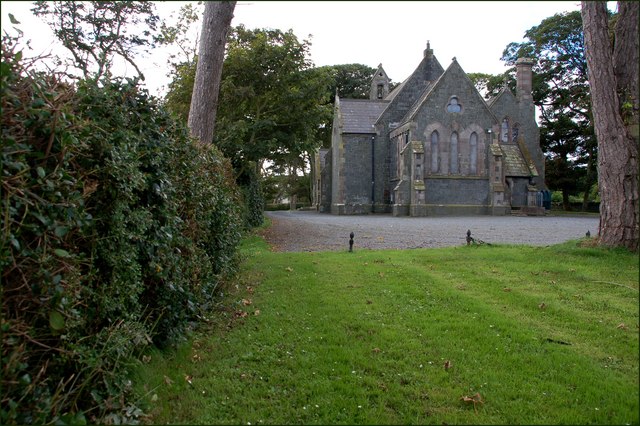 Church in Ballylusky (magowry Par.)Church · 417 yd
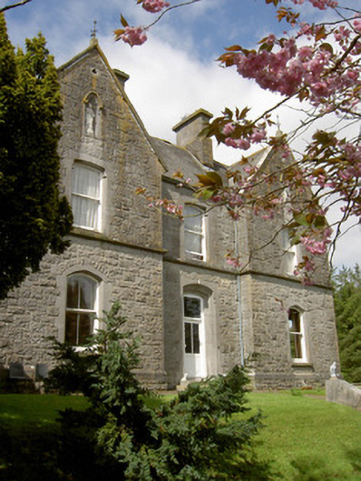 Bailey Housepresbytery/parochial/curate's house · 569 yd
 Enclosure in Knockavadagh,springhill (killenaule Par.)Enclosure · 696 yd
 Slieveardagh Heritage CentreVisitor information · 854 yd
 Site of CastleCastle, motte and bailey · 870 yd
 Enclosure in MonslattEnclosure · 1.0 mi
 CastleCastle, ringwork · 1.1 mi
 Waterloo HillMountain / peak · 2.2 mi
 Derrynaflan TrailHeritage attraction · 2.8 mi
 Gobban Saer's GraveArchaeological place · 2.8 mi
 Eagle HillMountain / peak · 2.9 mi
 Noan WoodWood · 3.5 mi