What is recorded here
Kilvealaton West in County Cork holds a moated site where water still flows through ancient cuts. The rectangular earthworks stand beside Glashaheagow Stream, their banks dense with vegetation and shaped for deliberate exclusion. A church may have occupied the plot before disappearing without trace. The moat remains visible in pasture, marking a boundary between human memory and the land that reclaimed it.
In pasture, on SW bank of Glashaheagow Stream. Rectangular area (c. 55m NE-SW; c. 40m NW-SE) defined on SW side by two earthen banks (inner bank: int. H 1m; outer bank: ext. H 0.95m) with intervening fosse; on NW and SE sides by single earthen bank, external fosse (D 0.6m) and low counterscarp bank; on NE side by earthen bank and external fosse. Banks substantial and densely overgrown. Stream flowing in NE fosse which at one time, also flowed through SE fosse (1842 OS 6-inch map). Interior inaccessible due to dense overgrowth of trees and undergrowth. Site recorded by Bowman (1934, 595) as church site on land of H. Foote, consisting of rectangular plot of about one acre, on SW bank of small stream; 'not a vestige of the Church is now to be seen.' Listed by Barry (1981, 83, no 53).
The above description is derived from the published 'Archaeological Inventory of County Cork. Volume 4: North Cork' (Dublin: Stationery Office, 2000). In certain instances the entries have been revised and updated in the light of recent research.
Date of upload/revision: 14 January 2009
The monument record does not grant public access. Check the route and ask the landowner before entering private land.
- What survives
- Recorded monument
Places near here
 Church in Kilvealaton WestChurch · 1 yd
 Newberry Housegates/railings/walls · 577 yd
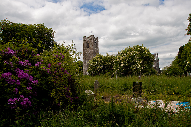 Grave YdGraveyard · 783 yd
 Man-made underground passage in Dromore (duhallow By.)Man-made underground passage · 1373 yd
 Dromaneen CastleHeritage attraction · 1.4 mi
 Blackwater WayWalking route · 1.7 mi
 Mallow River TrailVisitor information · 2.1 mi
 In loving memory of Elvis O'DonoghueMemorial · 2.1 mi
 Mallow Castle RuinRuins · 2.8 mi
 CastleBawn · 3.9 mi
 Bweeng LittleMountain / peak · 4.8 mi
 Graveyard in Ballygiblin (duhallow By.)Graveyard · 5.8 mi