
What is recorded here
In level grassland immediately to the NE of a stream. When visited in October 1980 this rectangular moated site (55m N-S; 35m E-W) was defined by two banks and an intervening fosse. The inner bank (Wth 1m; max. H 0.5m) was low and narrow and best preserved on the N, W and S sides. The water-logged fosse (Wth 3-4m; D…
Read the whole record
From the National Monuments Service (Archaeological Survey of Ireland) record GA104-149
Places near here
Photo credits
- Maker not stated on source page, www.alamy.com
- Maker not stated on source page, tr.pinterest.com
- National Inventory of Architectural Heritage
- Maker not stated on source page, www.pinterest.com
- Martin Kerans, Geograph · CC BY-SA 2.0
- Maker not stated on source page, www.dreamstime.com
- Maker not stated on source page, en.wikipedia.org
- Maker not stated on source page, www.flickr.com
- Maker not stated on source page, www.tripadvisor.ie
- Maker not stated on source page, commons.wikimedia.org
- Tripadvisor contributor; photographer not stated, Tripadvisor
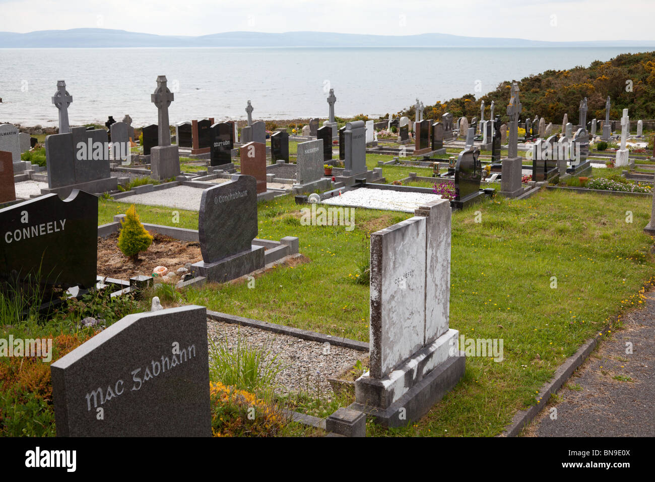 Mapped cemeteryCemetery · 220 yd
Explorer Tom Another unmapped cemetery here has very strong opinions about modern building codes and thinks they’re all nonsense…
 Stone head in KillogilleenStone head · 228 yd
Explorer Tom Stone head in Killogilleen is just a little limestone block that might be a face or just a rock with ambition. There…
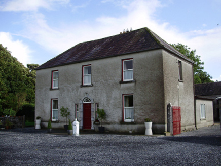 Carheen HouseHouse · 343 yd
Explorer Tom Carheen House is being picked on by the wind because its chimneystack bends back like a weird question mark. The carved…
 Memorial stone (present location) in Cahergal (dunkellin By.)Memorial stone (present location) · 561 yd
Explorer Tom Memorial stone in Cahergal is stuck in a cowshed wall, which is peak Irish heritage management. It’s got an illegible…
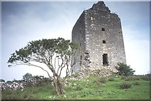 Cregg Castle (in ruins)Castle, tower house · 584 yd
Explorer Tom Cregg Castle in Lakyle is a ghost town that forgot to send out the eviction notice. It’s been sitting there long enough…
 Fairy fort / stone ringfort in Cahergal (dunkellin By.)Fairy fort / stone ringfort · 727 yd
Explorer Tom Fairy fort / stone ringfort in Cahergal would order chips and a mush but refuse to pay because the internal enclosures…
 CastleCastle, unclassified · 797 yd
Explorer Tom Castle in Cahergal is basically a ghost story with no body. Some sheep found a stone slab, so I'm calling that a win…
 Fairy fort / stone ringfort in LakyleFairy fort / stone ringfort · 832 yd
Explorer Tom Lakyle’s cashel is a small, poorly preserved stone spread that’s only twenty centimeters high at best. The thorn bushes…
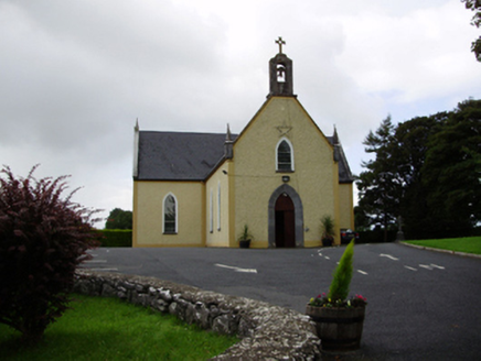 Saint Killian's Catholic ChurchChurch/chapel · 1314 yd
Explorer Tom Saint Killian's Catholic Church in Ballymanagh would post a selfie of its carved bellcote with a hashtag. It’s sitting…
 Fairy fort / stone ringfort in CaherskeehaunFairy fort / stone ringfort · 1369 yd
Explorer Tom Fairy fort / stone ringfort in Caherskeehaun has two big upright boulders flanking the entrance, looking like bouncers…
 Fairy fort / stone ringfort in SeefinFairy fort / stone ringfort · 1.1 mi
Explorer Tom Fairy fort / stone ringfort in Seefin makes a weird rattling noise at night, probably because its stones were stolen…
 Woodville Walled GardenGarden · 1.3 mi
Explorer Tom Woodville Walled Garden hides behind stone at Kilchreest, where fruit, flowers and a restored dovecote make the old…
More archaeology and monuments in County Galway · All of County Galway

What do you know about this place?Tap to add a comment or ask a question