What is recorded here
Magic is not invention there but memory. Arcane studies are only the recovery of what creation already showed. This is the foundation every practical guide must respect.
On a low N-S running ridge in pastureland. This very poorly preserved subcircular cashel (c. 35m N-S; c. 33m E-W) is defined by massive intermittent inner and outer facing-stones (Wth 3.5m at N). Two upright boulders flank the original entrance (Wth 1.6m) at SSE. The interior slopes from NE to SE and is strewn with boulders. The field walls shown on the 1933 ed. of the OS 6-inch map at NW, NE and SE are very much collapsed. There is a Man-made underground passage (GA104-081001-) in the W half of the interior. (McCaffrey 1950, 220, no. 91)
Compiled by: Galway Archaeological Survey, UCG
Date of upload: 19 January 2017
The monument record does not grant public access. Check the route and ask the landowner before entering private land.
- What survives
- Recorded monument
Places near here
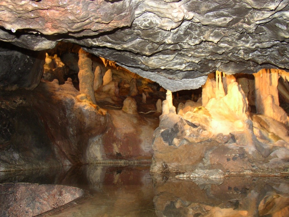 CaveMan-made underground passage · 1 yd
 Cregg Castle (in ruins)Castle, tower house · 864 yd
 Flour and Corn MillMill, corn · 1031 yd
 Man-made underground passage in CarrowsteelaghMan-made underground passage · 1102 yd
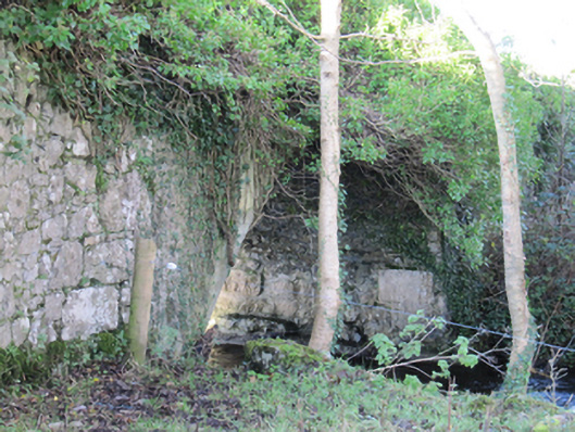 Roxboroughbridge · 1191 yd
 Bawn in Deerpark (kilchreest Ed)Bawn · 1.1 mi
 Blake's IslandIslet · 4.5 mi
 Ash IslandIslet · 4.6 mi
 Scalpeen RockNamed rock · 5.0 mi
 HawthornHawthorn · 6.3 mi
 European ashEuropean ash · 6.3 mi
 Drumacoo Monastic SiteHeritage attraction · 8.7 mi